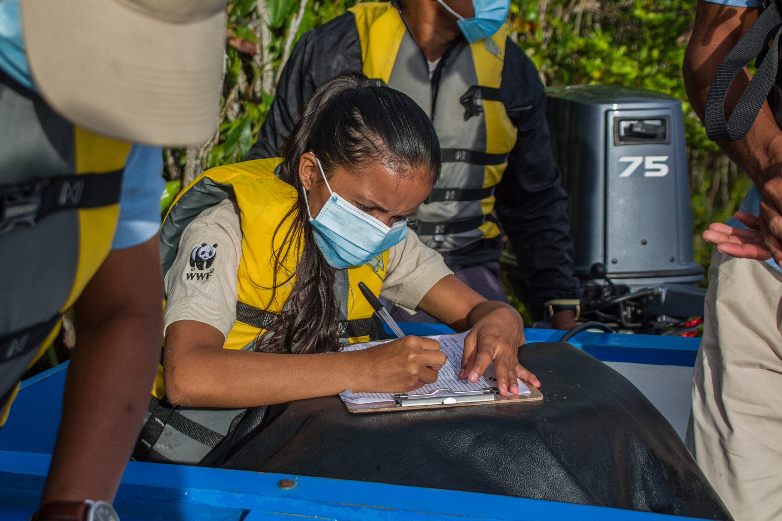
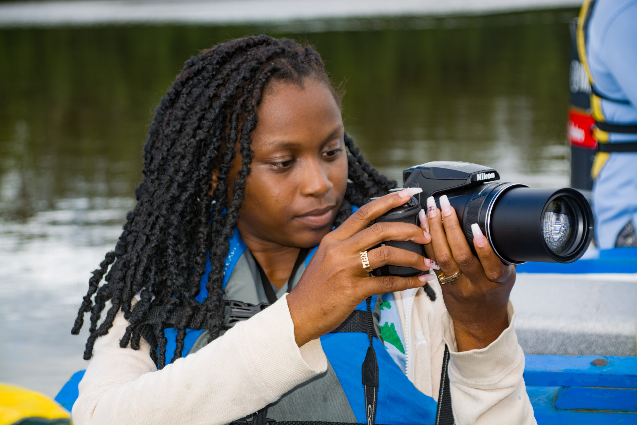
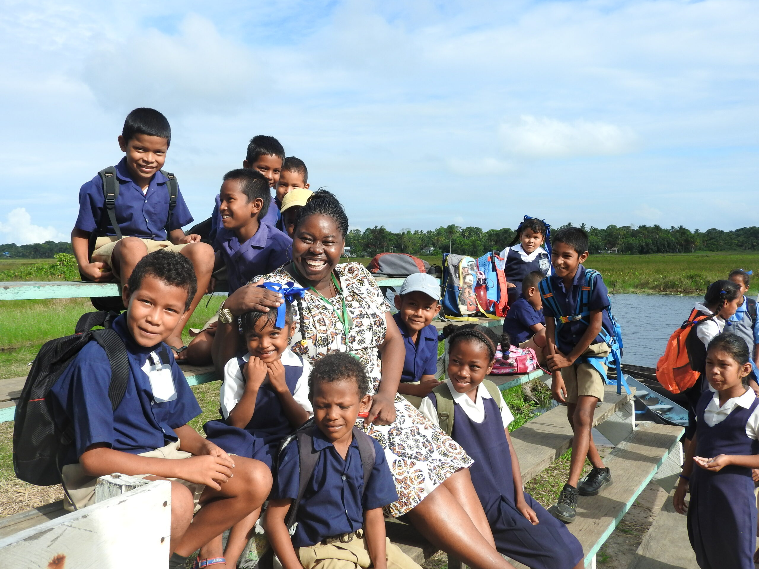
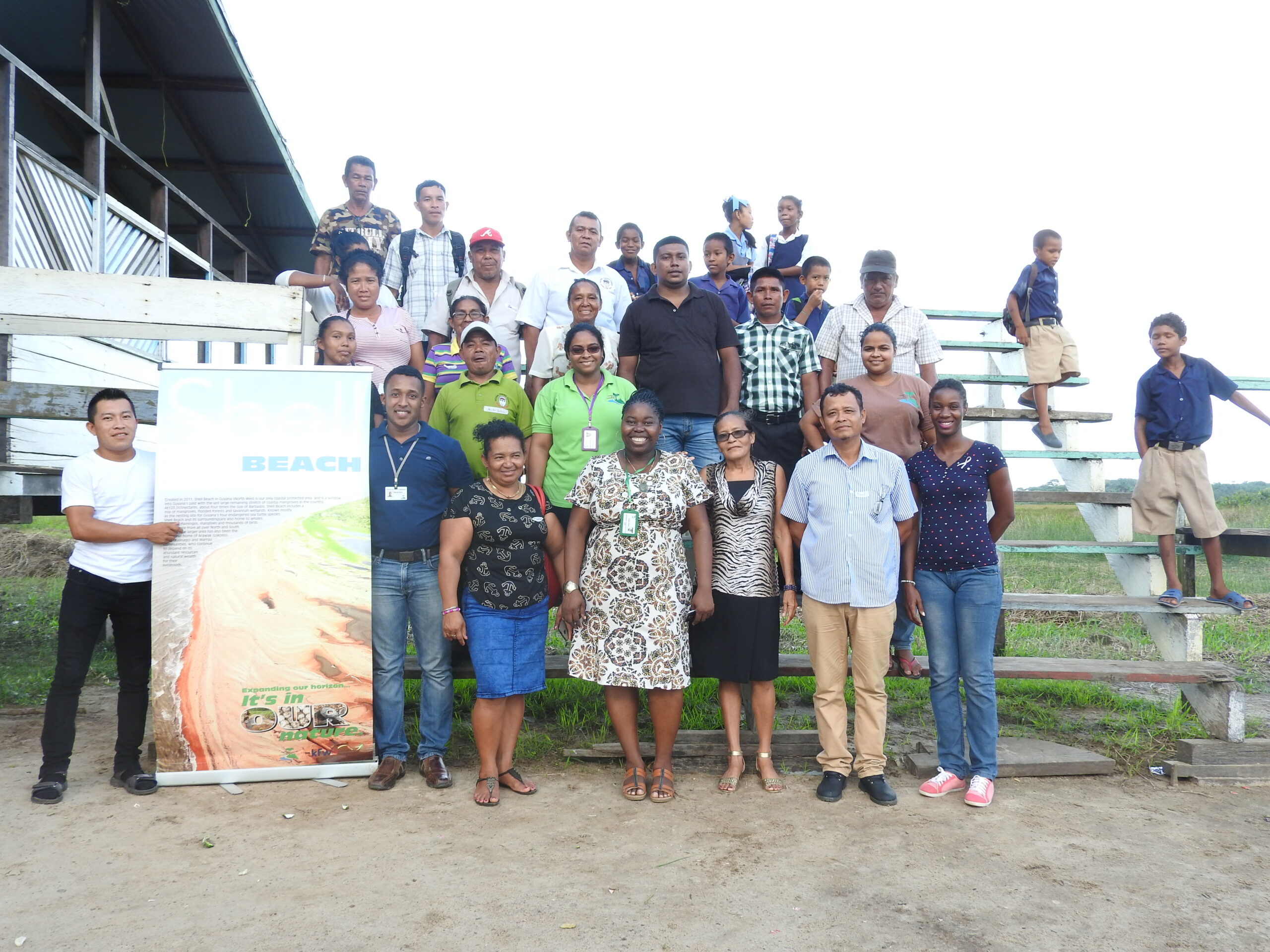
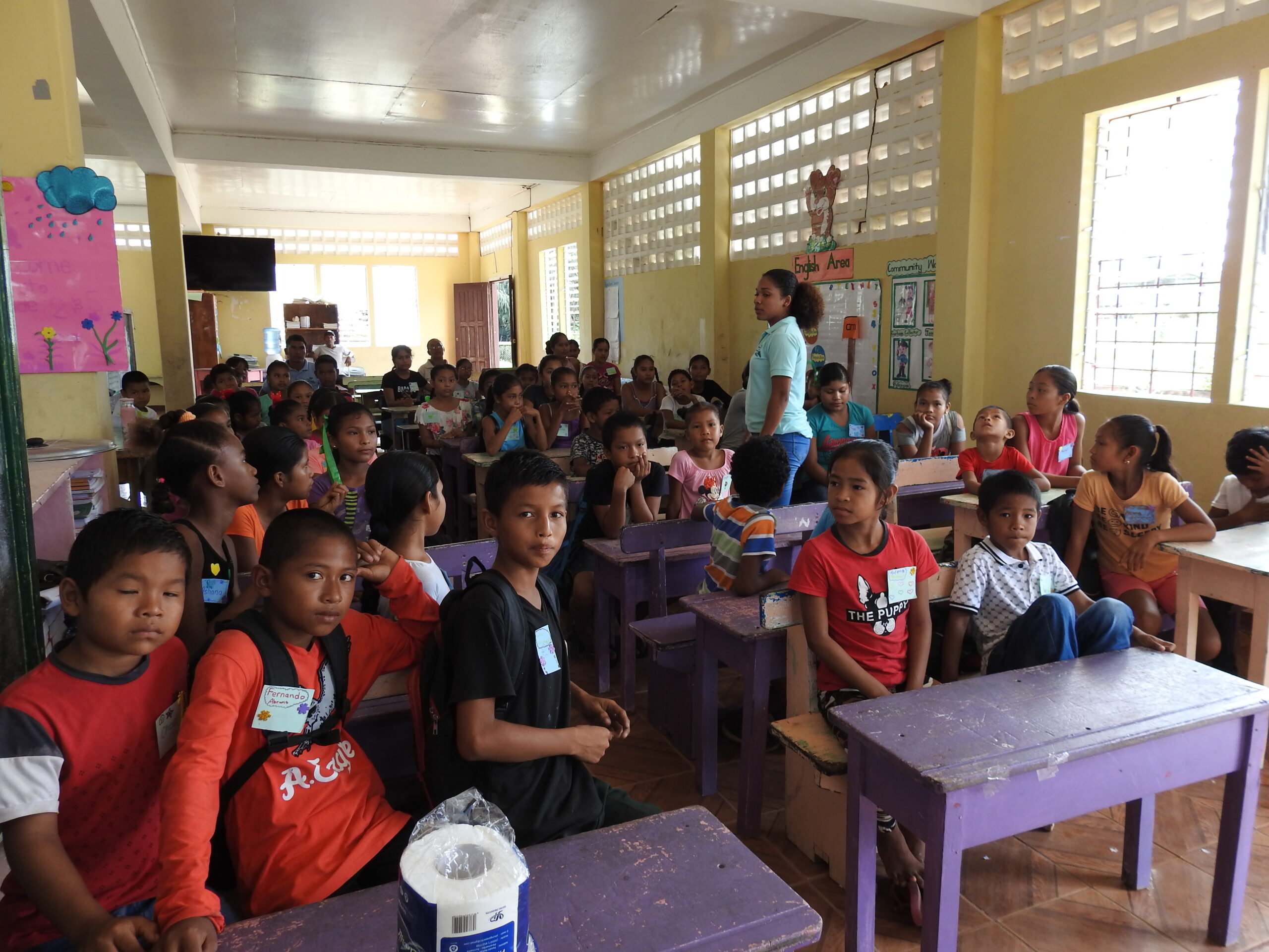
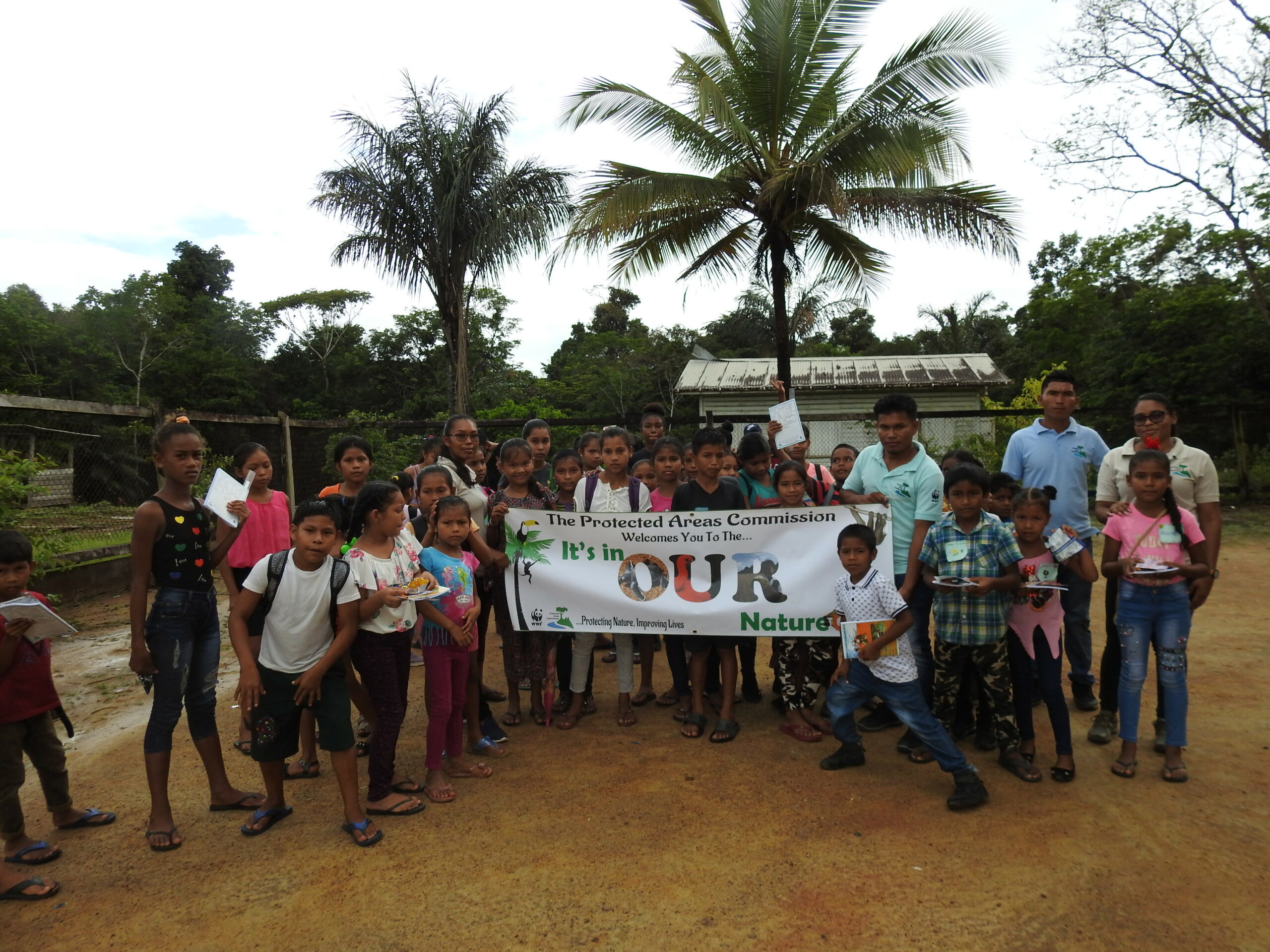
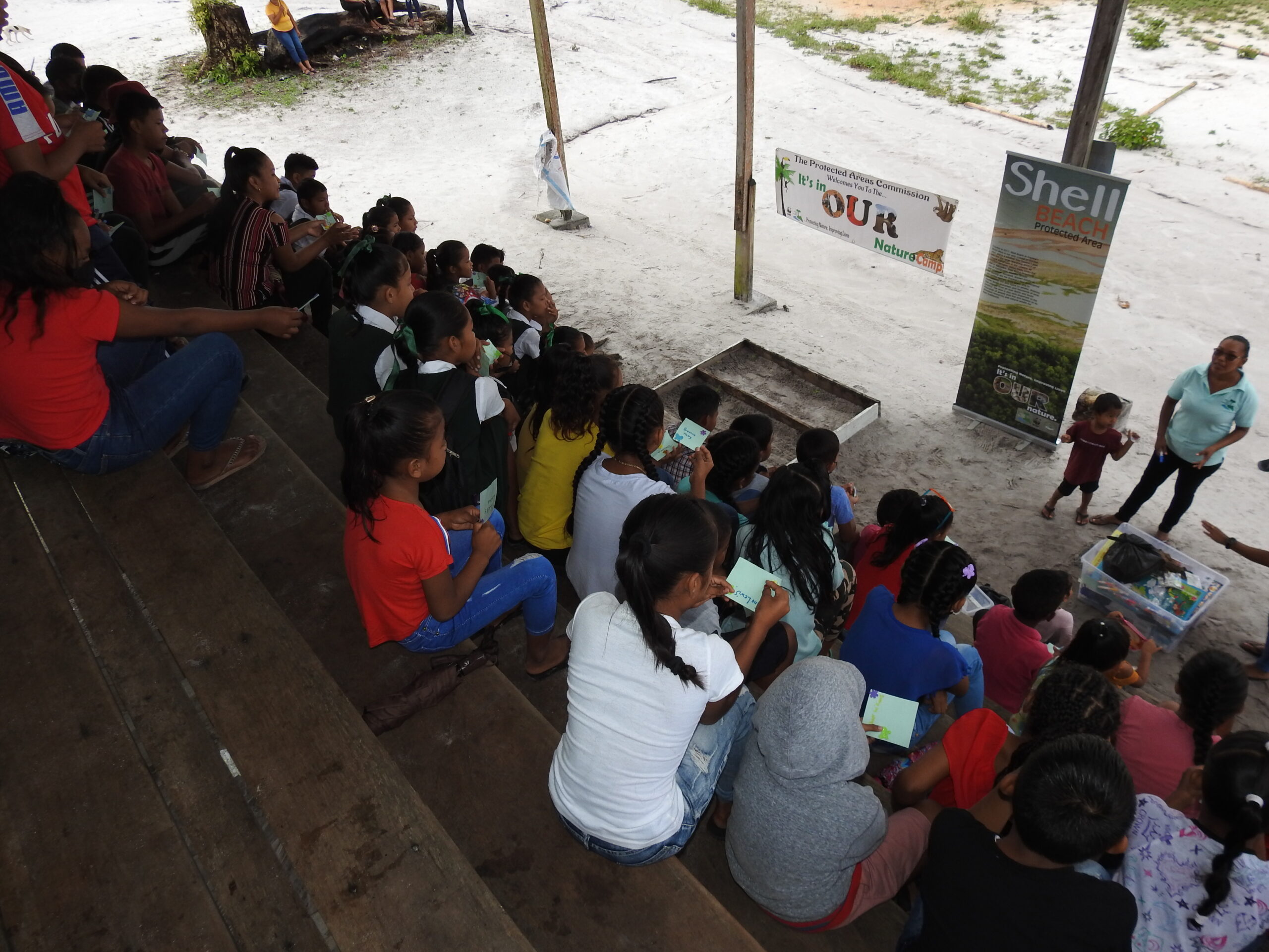
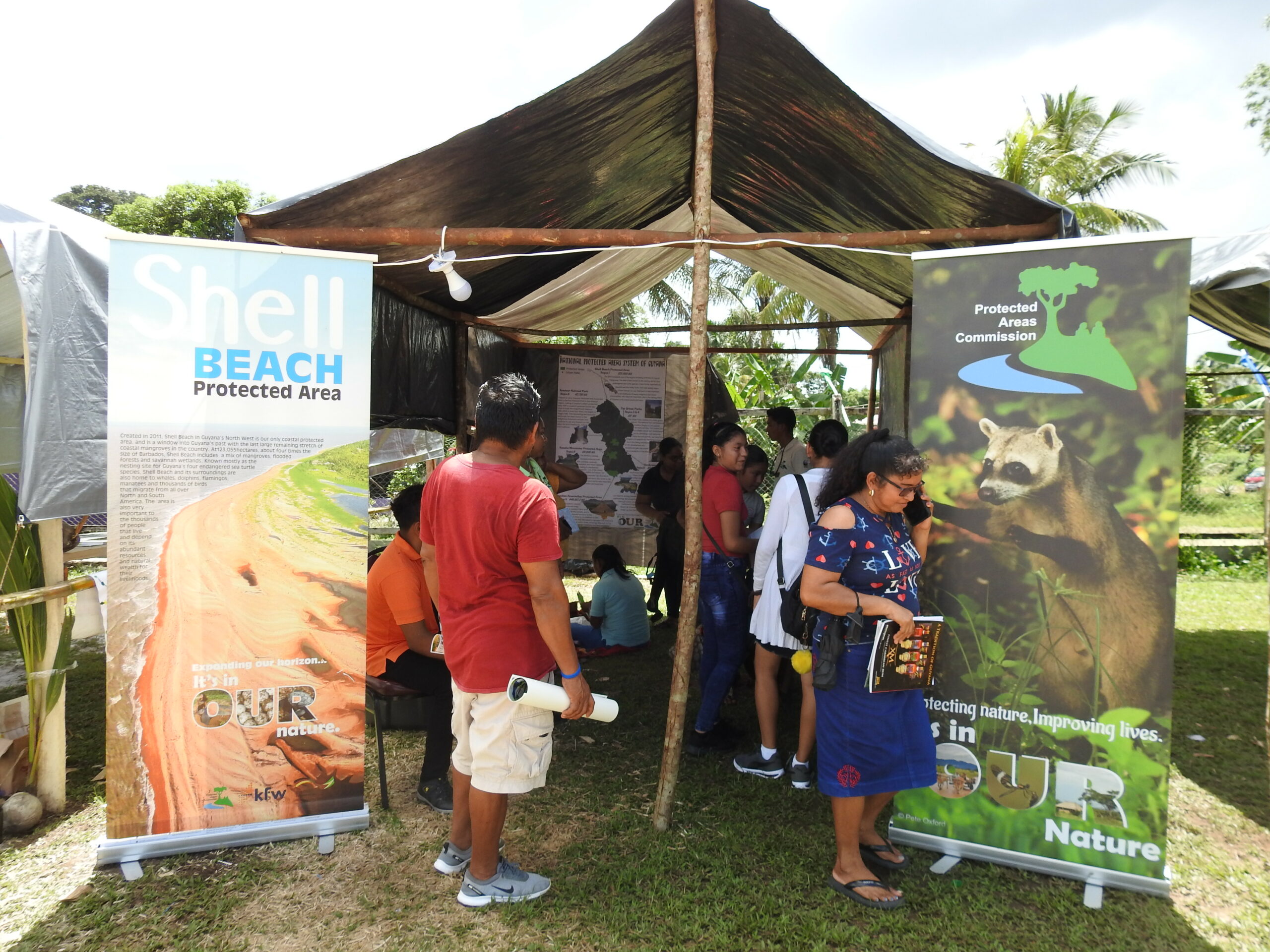
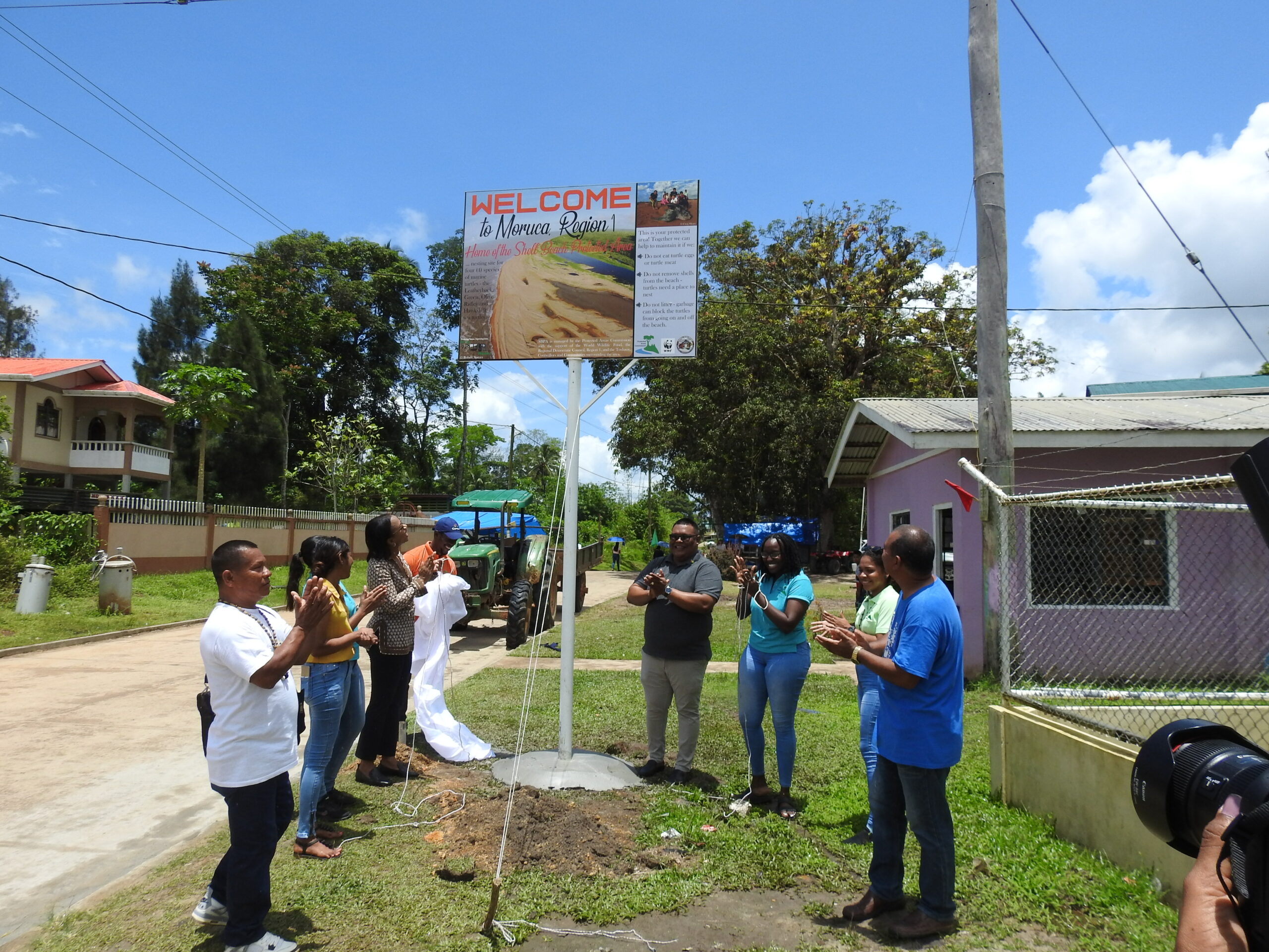
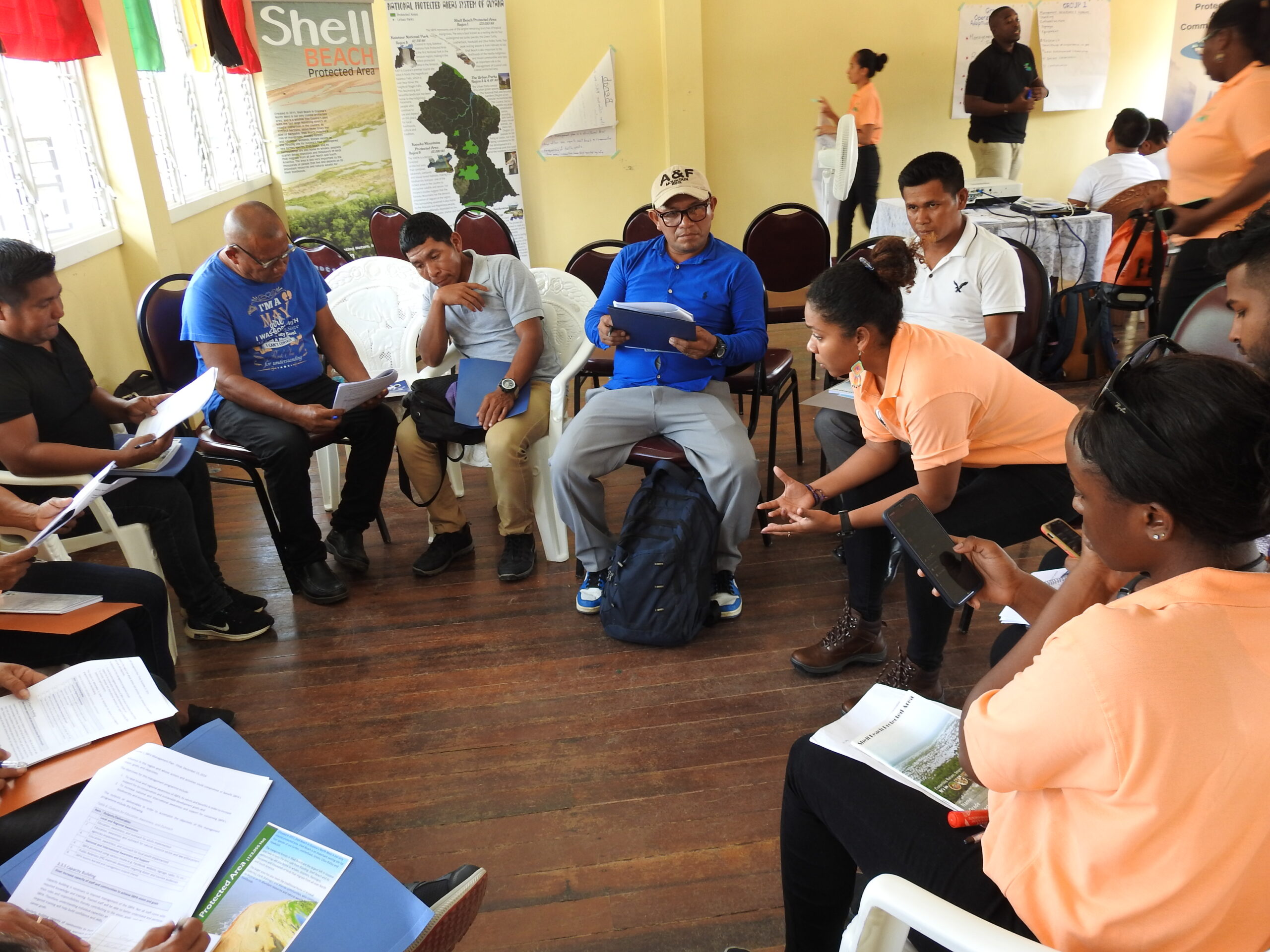
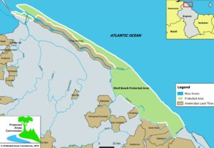
Shell Beach Protected Area

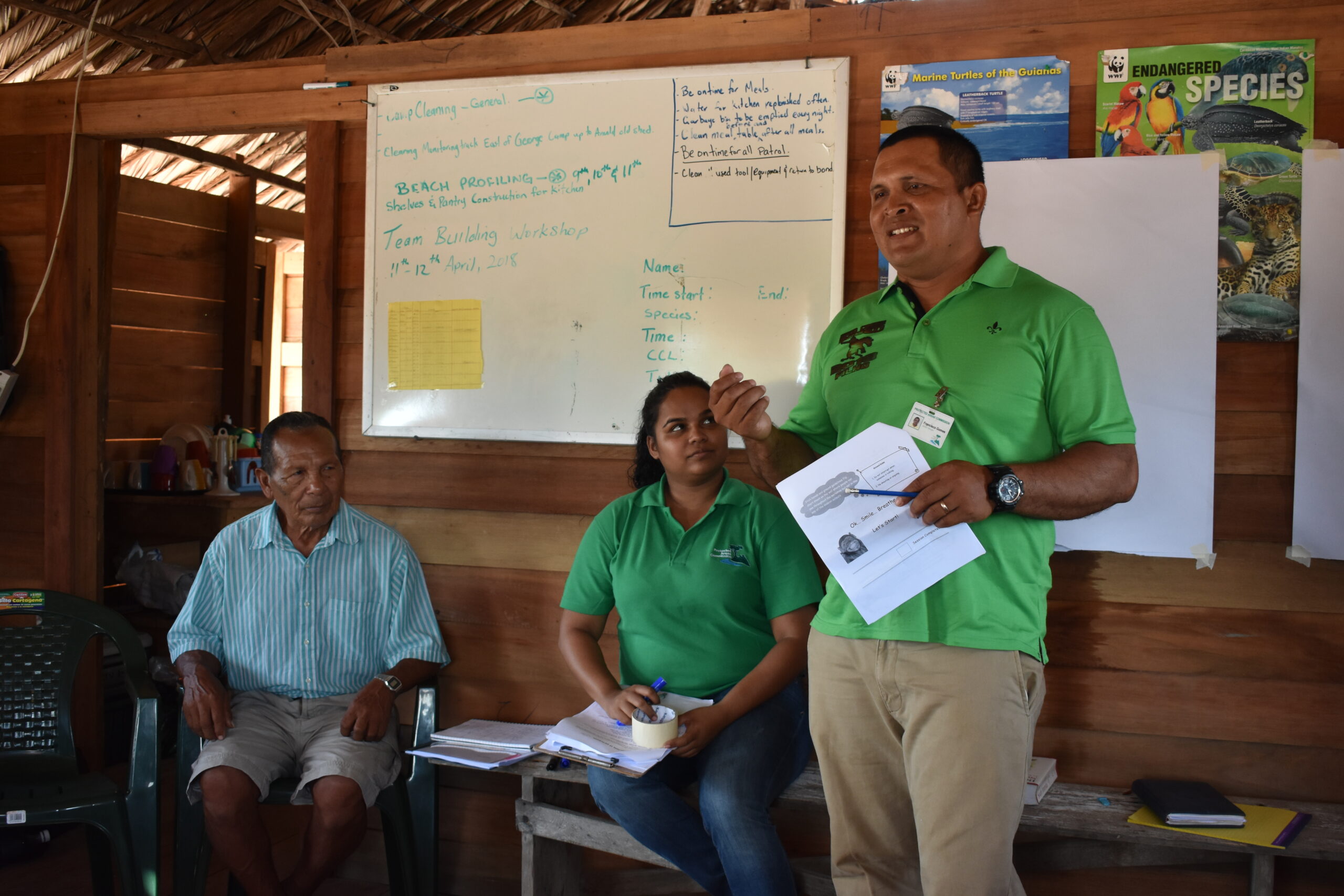
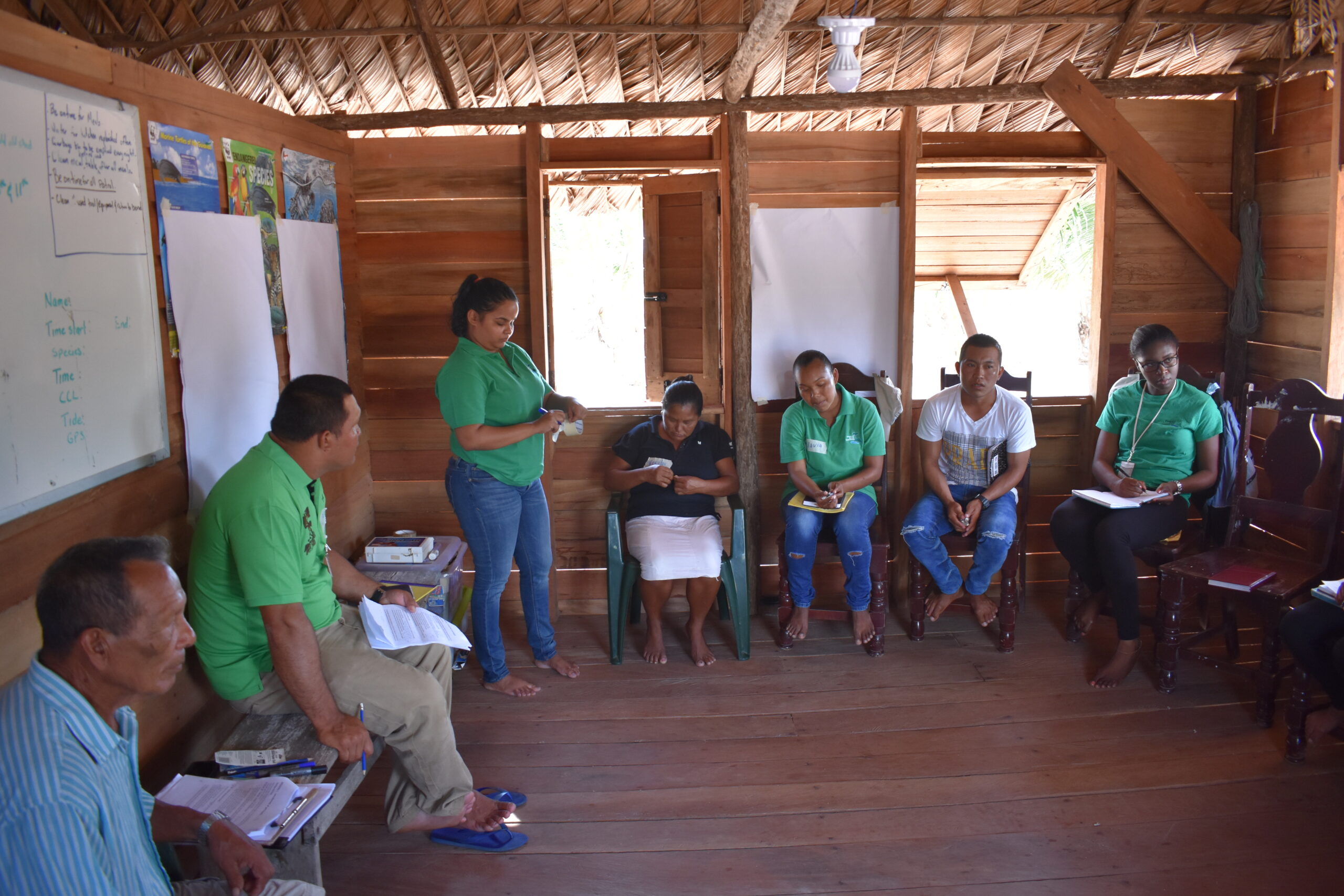
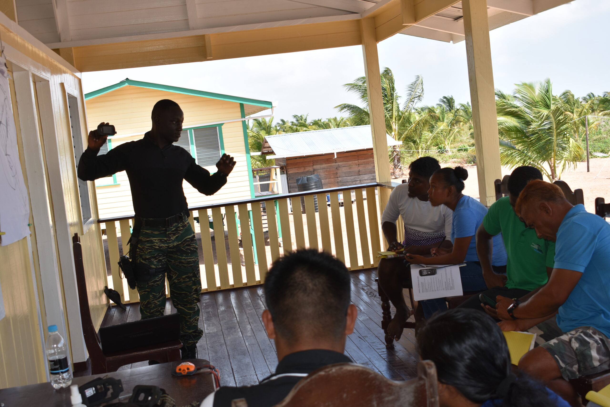
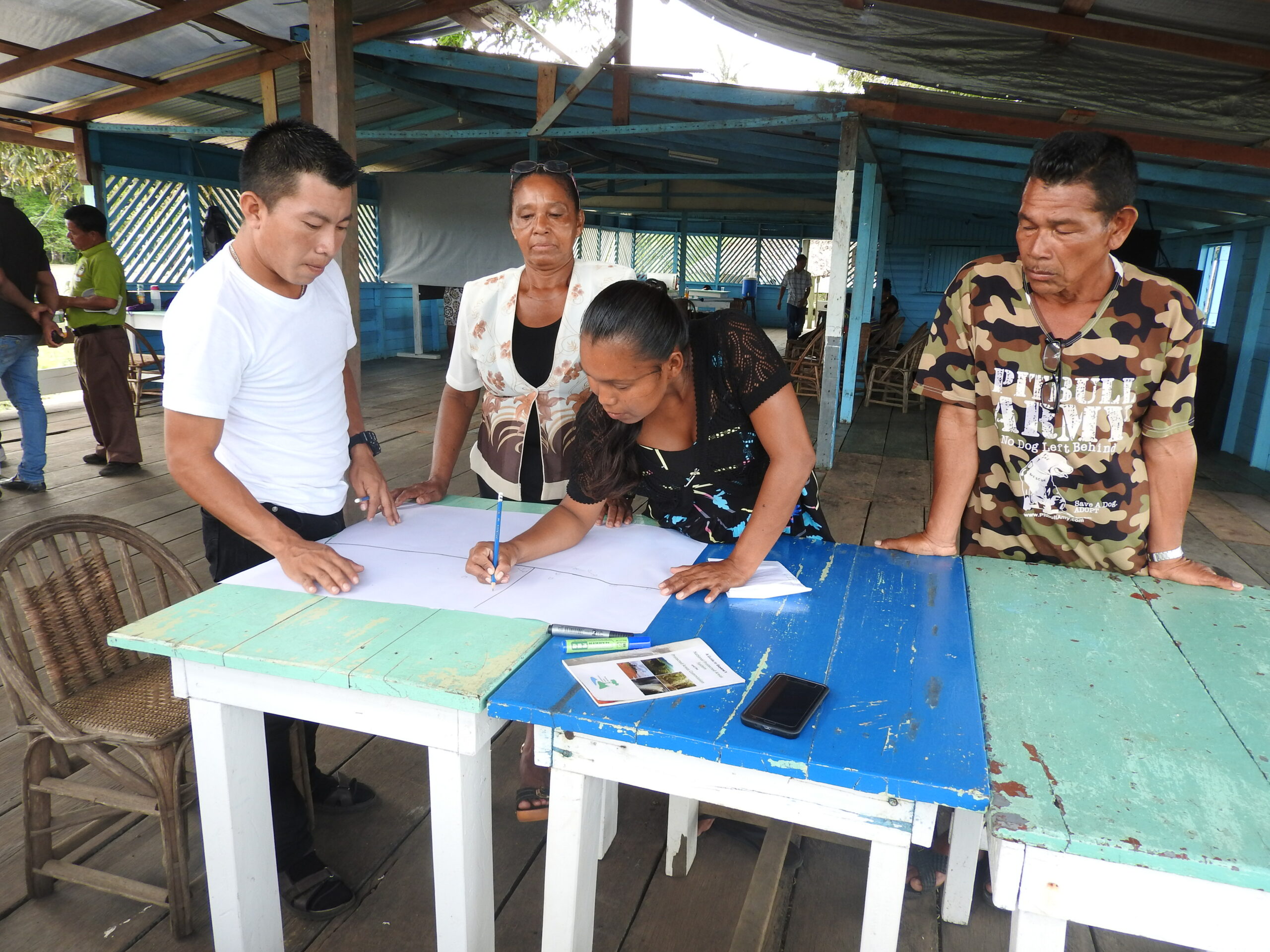
 In 1999, the Government of Guyana, through consultations, identified Shell Beach as a priority site for Protected Area status because of its rich biodiversity and representation of Guyana’s unique ecosystems. In 2000, the Government of Guyana, through the Environmental Protected Agency (EPA) appointed the Guyana Marine Turtle Conservation Society (GMTCS) as the Lead organization for the proposed Shell Beach Protected Area (SBPA) process, since they had been involved in activities aimed at the conservation of the marine turtles since 1998. In June 2009, GMTCS signed a Grant Agreement with the Environmental Protection Agency (EPA- which was responsible for protected areas establishment at the time), to complete the delineation of the boundaries of the proposed Shell Beach Protected Area. The funding for the execution of this project was provided by the Government of Germany, through the German Development Bank (KfW), to the Government of Guyana. The delineation of the SBPA followed an extensive process of consultations with Amerindian communities, government and non – governmental stakeholders. During this process communities highlighted the importance of managing the area given the resource utilization activities both within and around the SBPA.
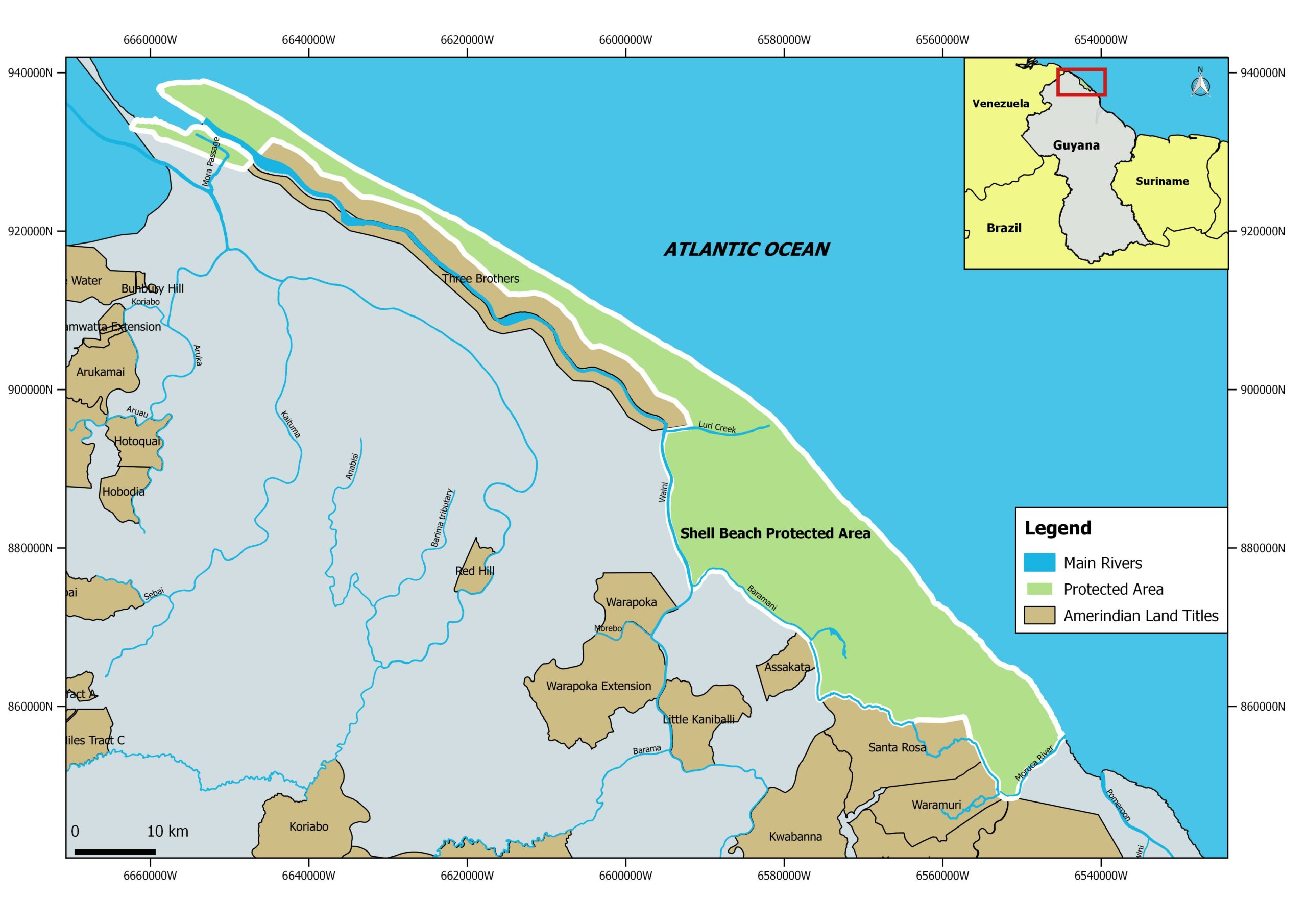
In October 2011, Protected Areas Act, 2011 was made law the Shell Beach was declared a National Protected Area. The Protected Areas Act also established the Protected Areas Commission to manage the National System of Protected Areas including the Shell Beach Protected Area.
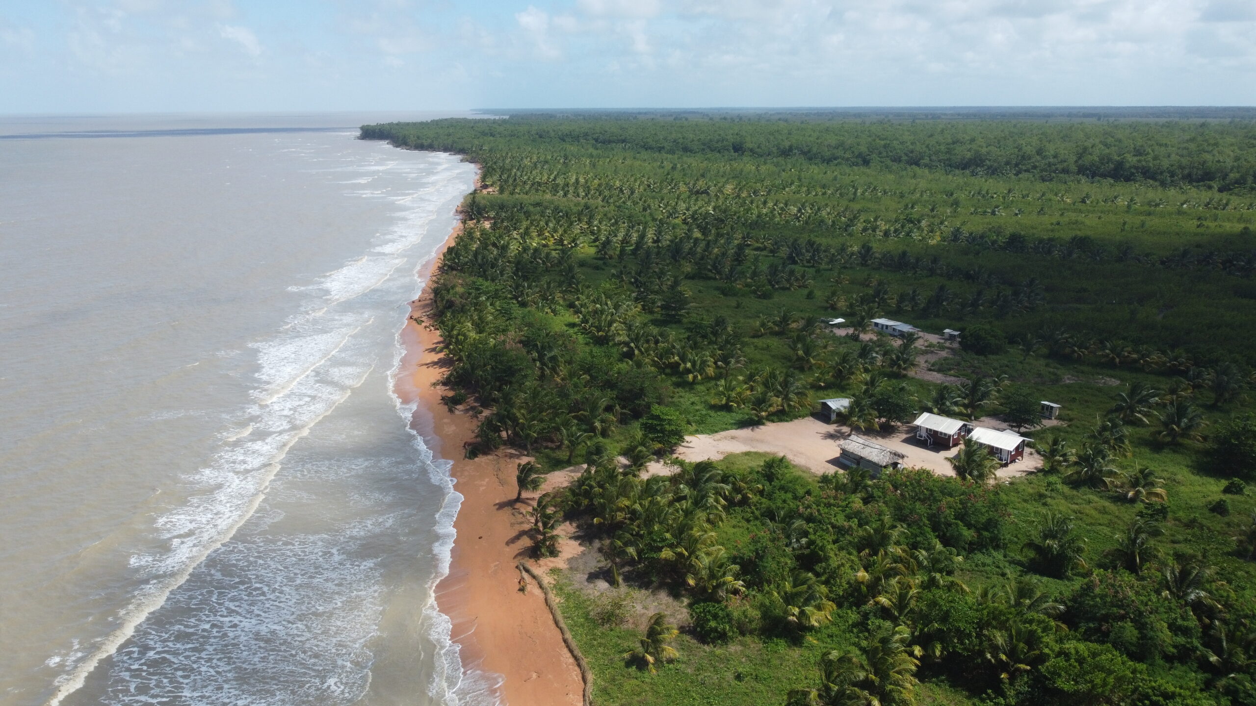
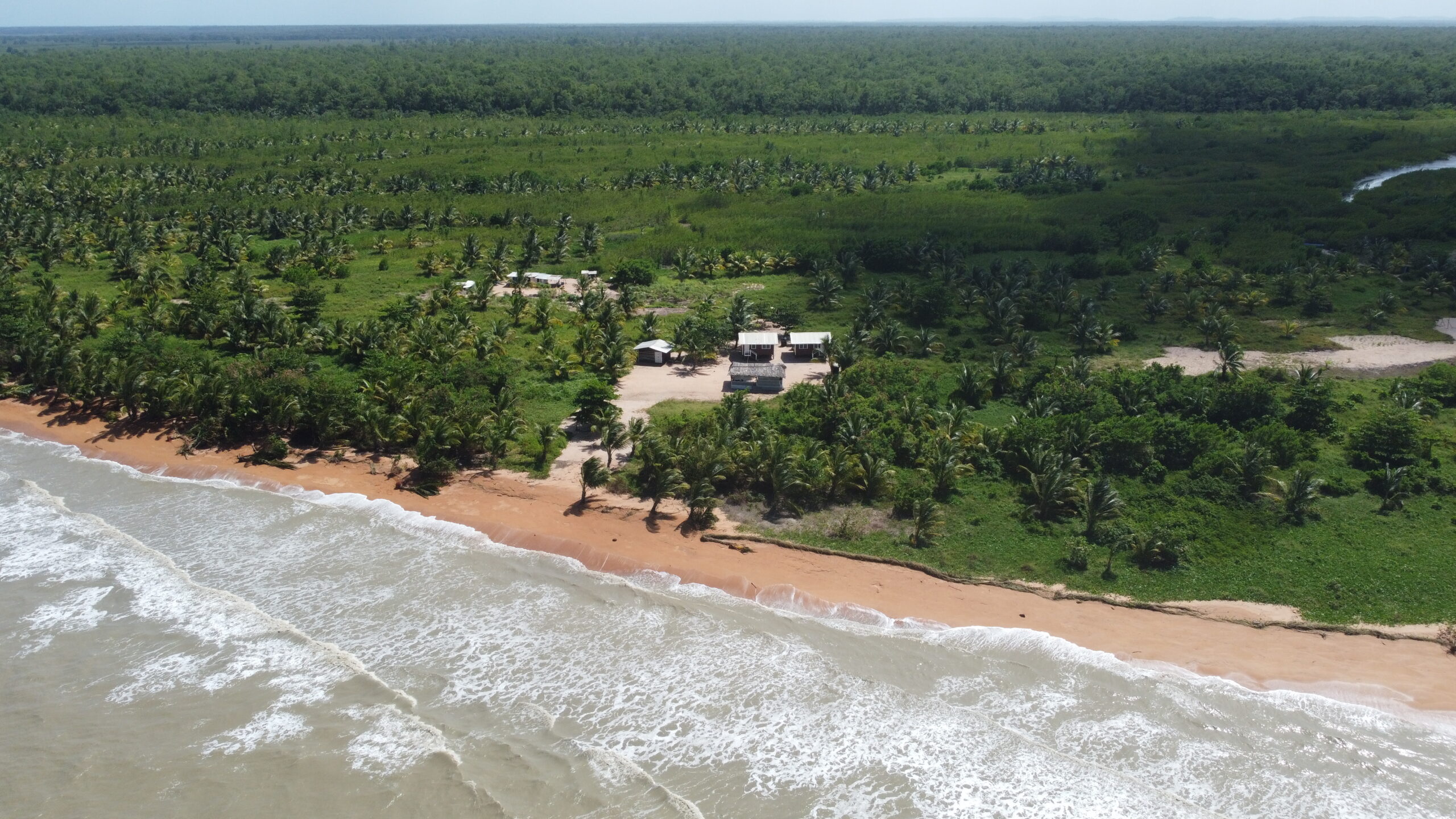
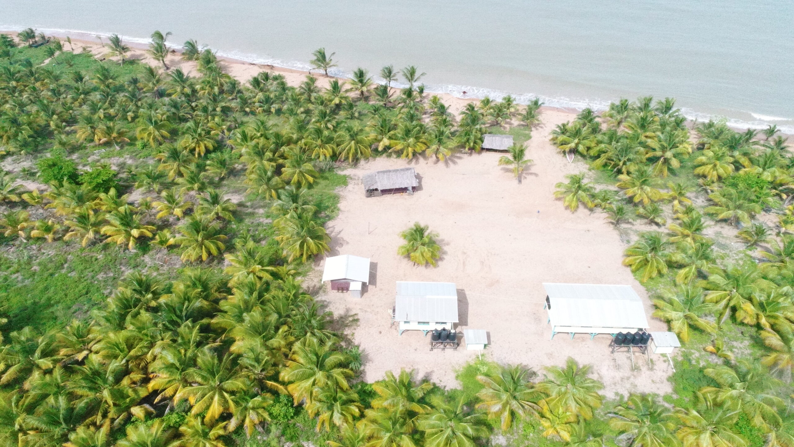
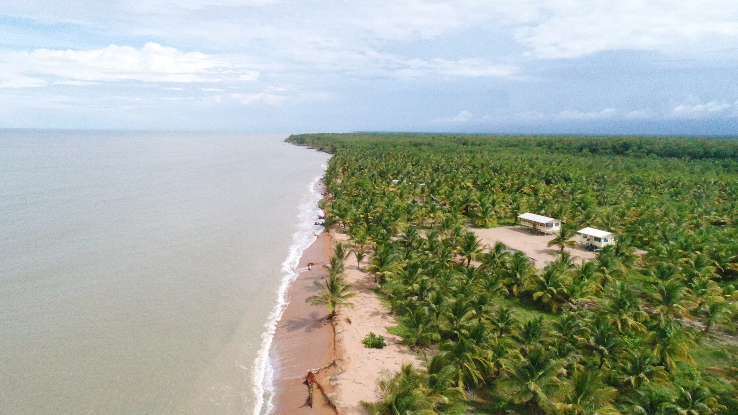
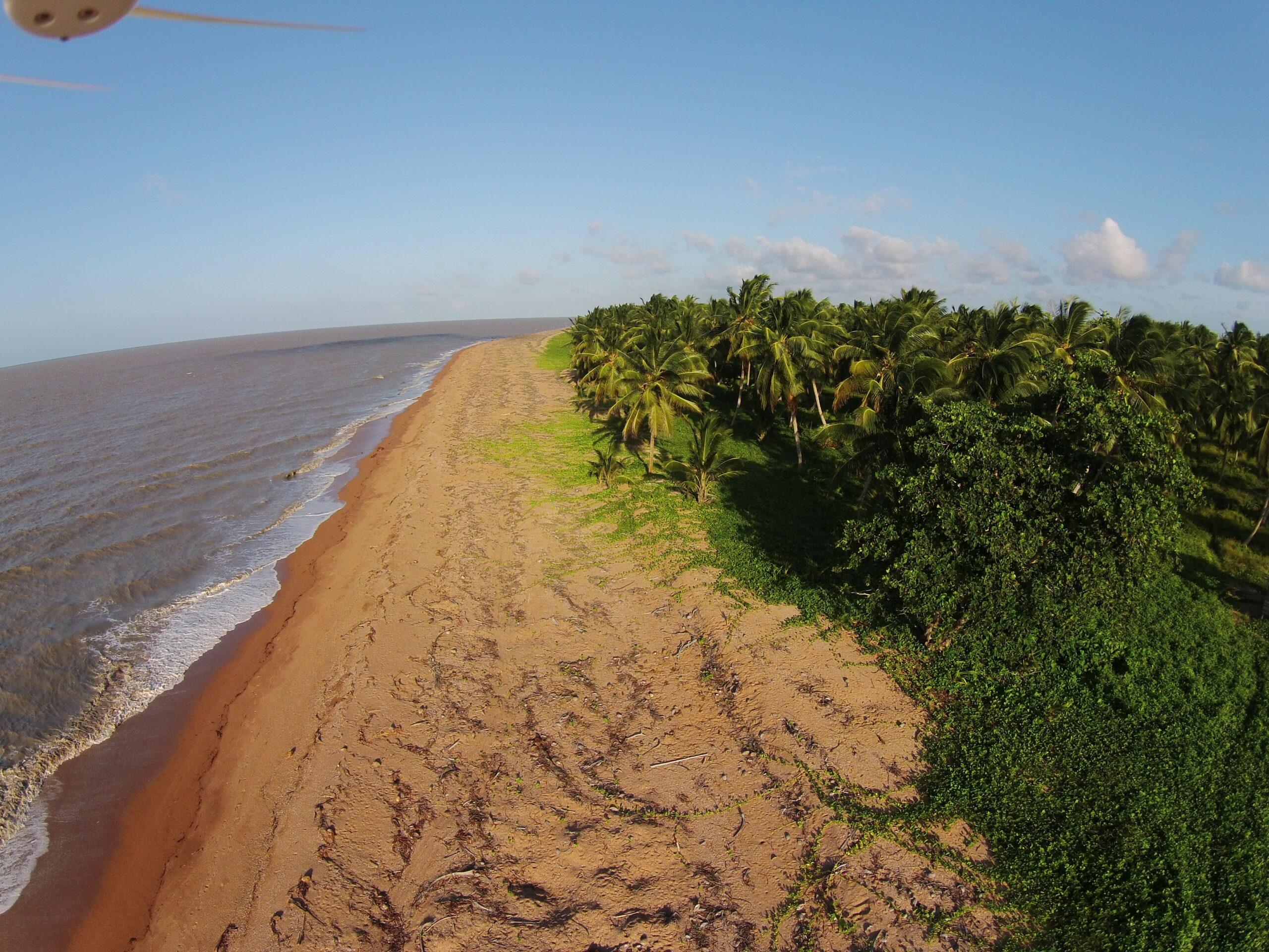
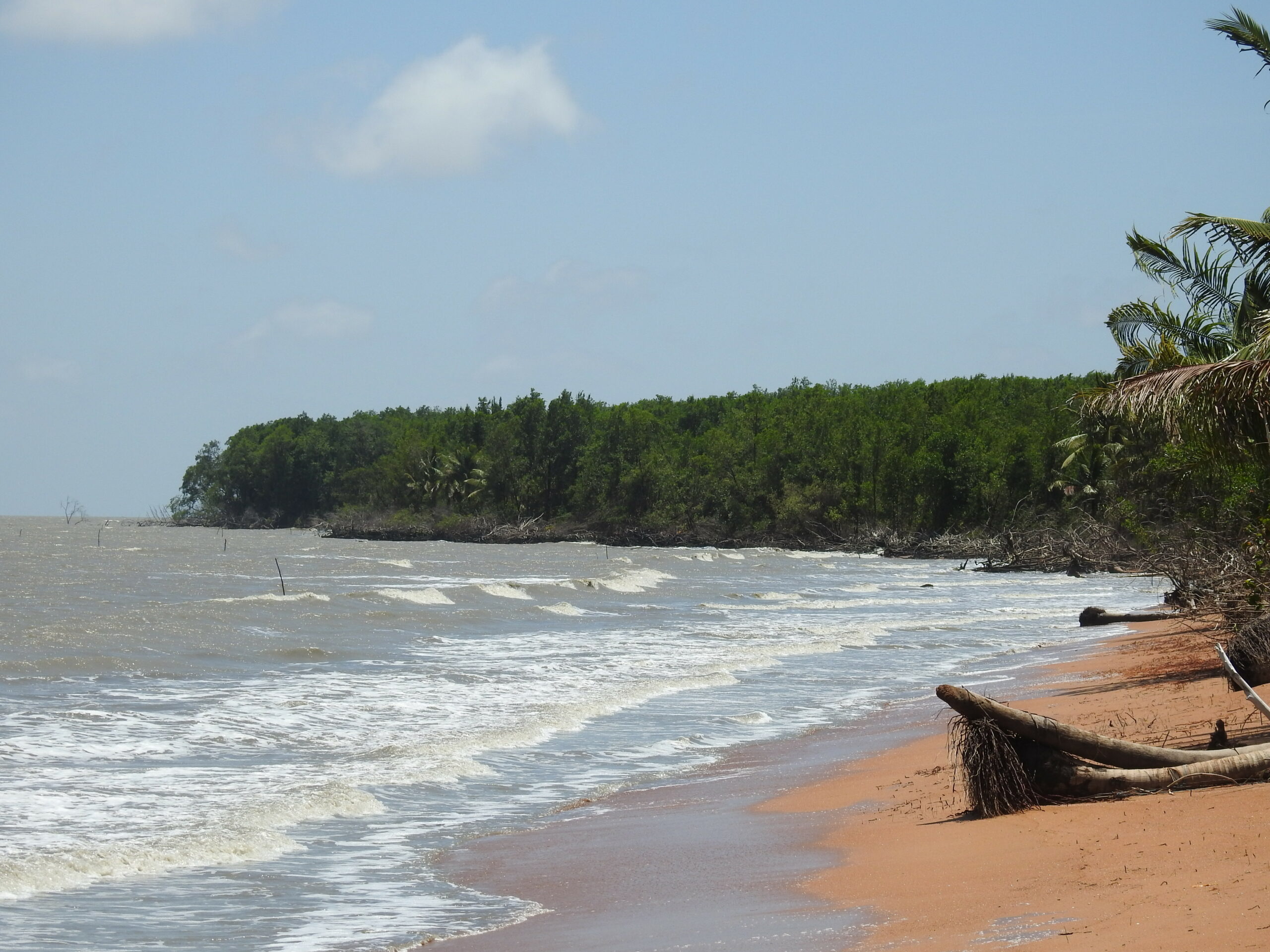
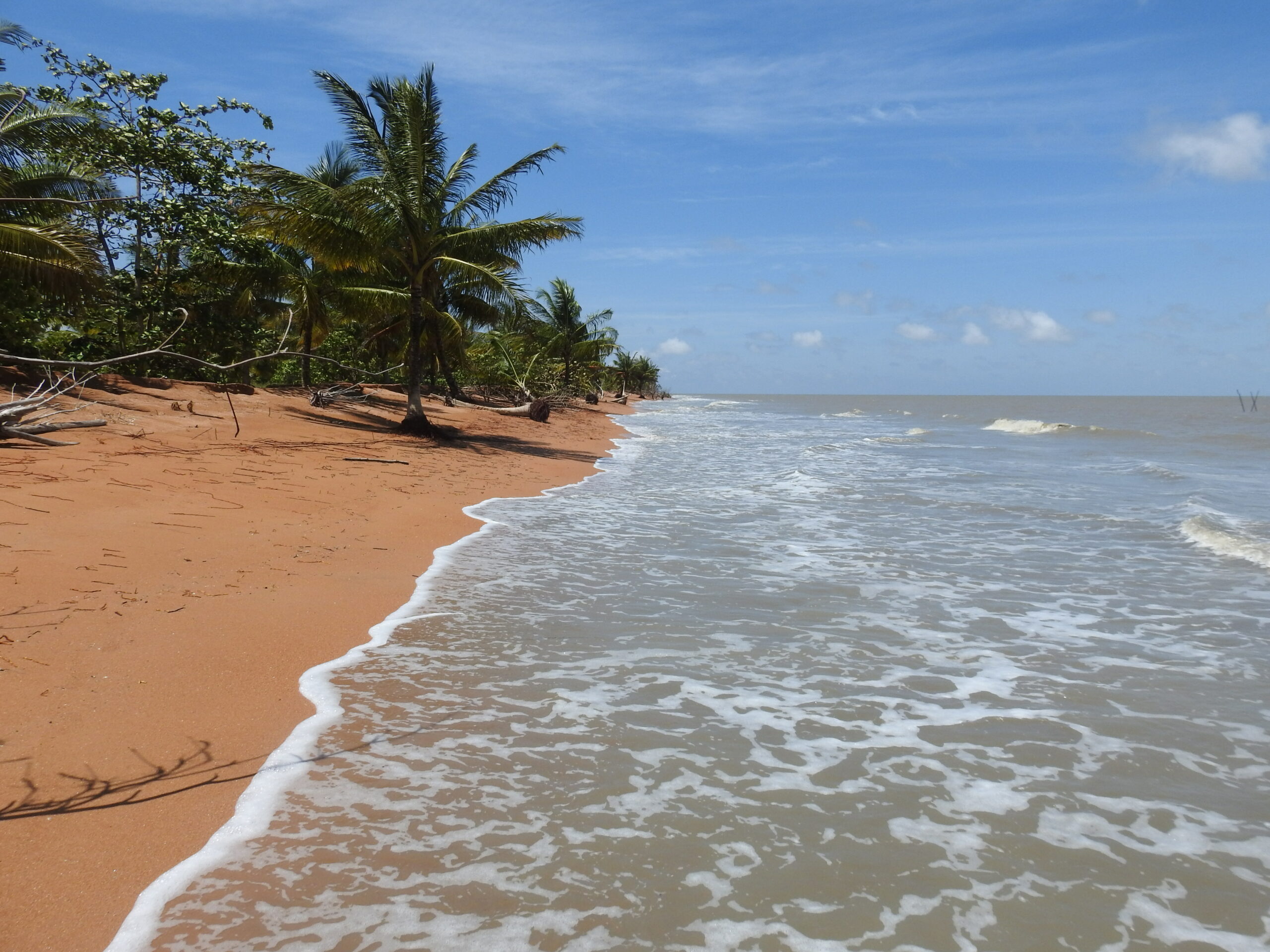
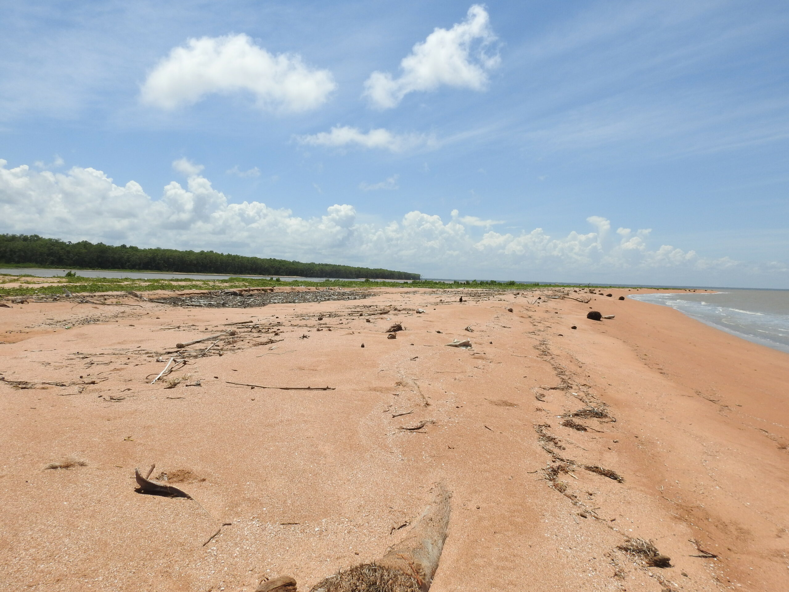
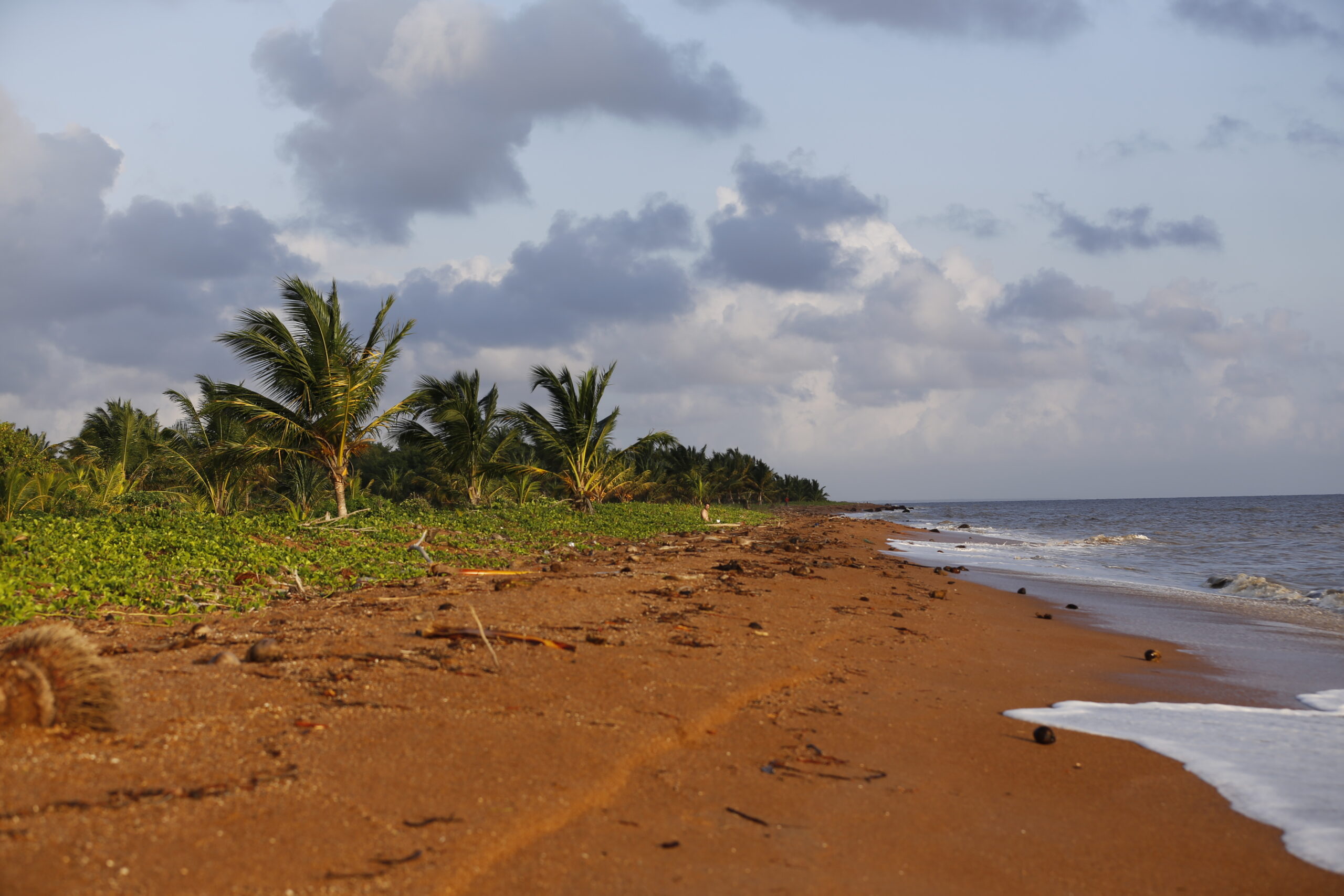
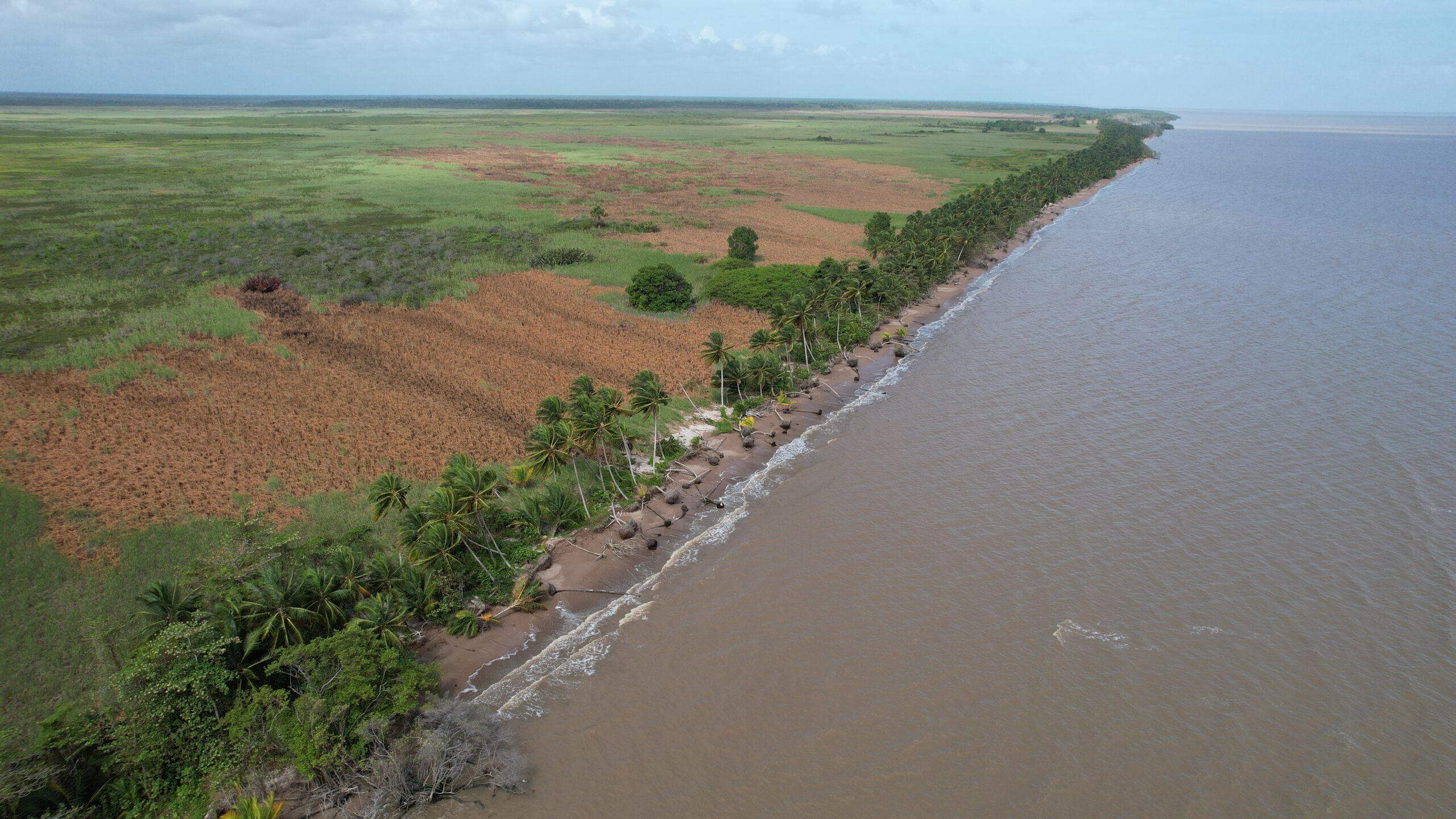
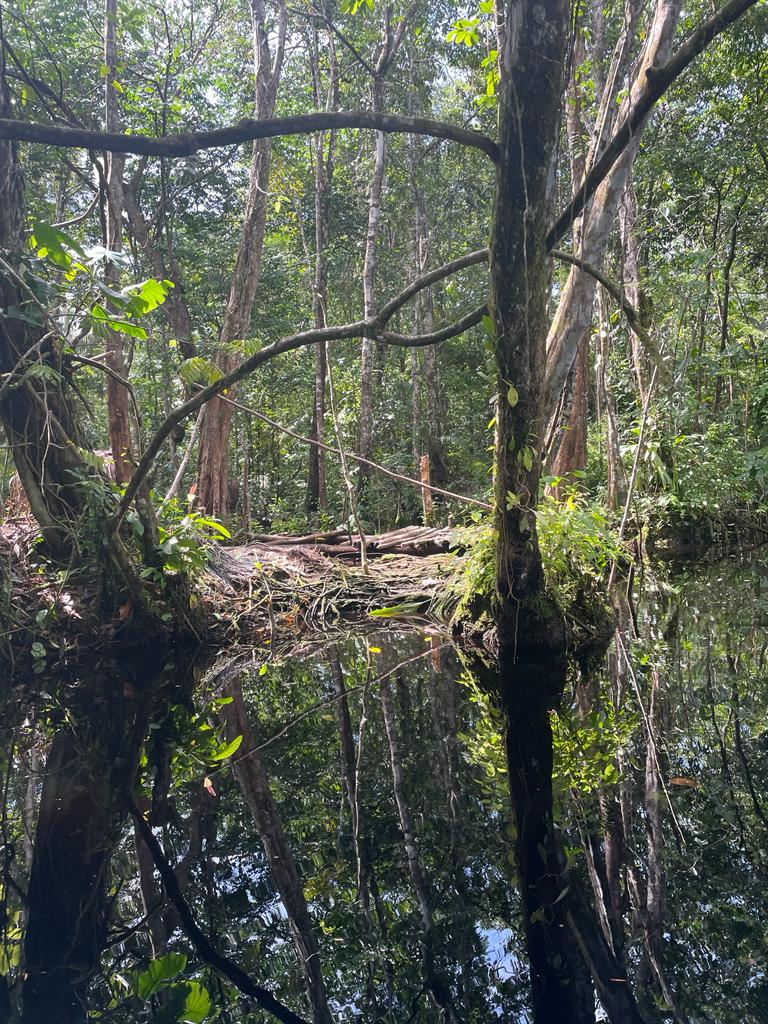
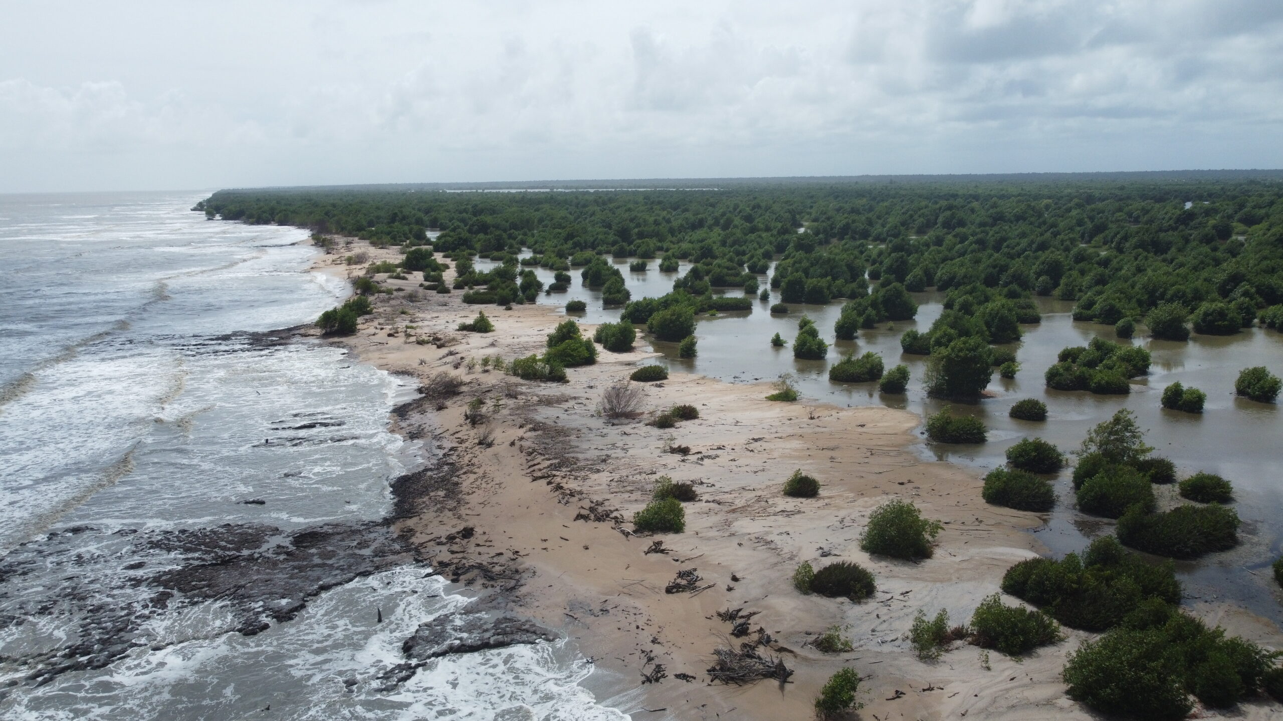
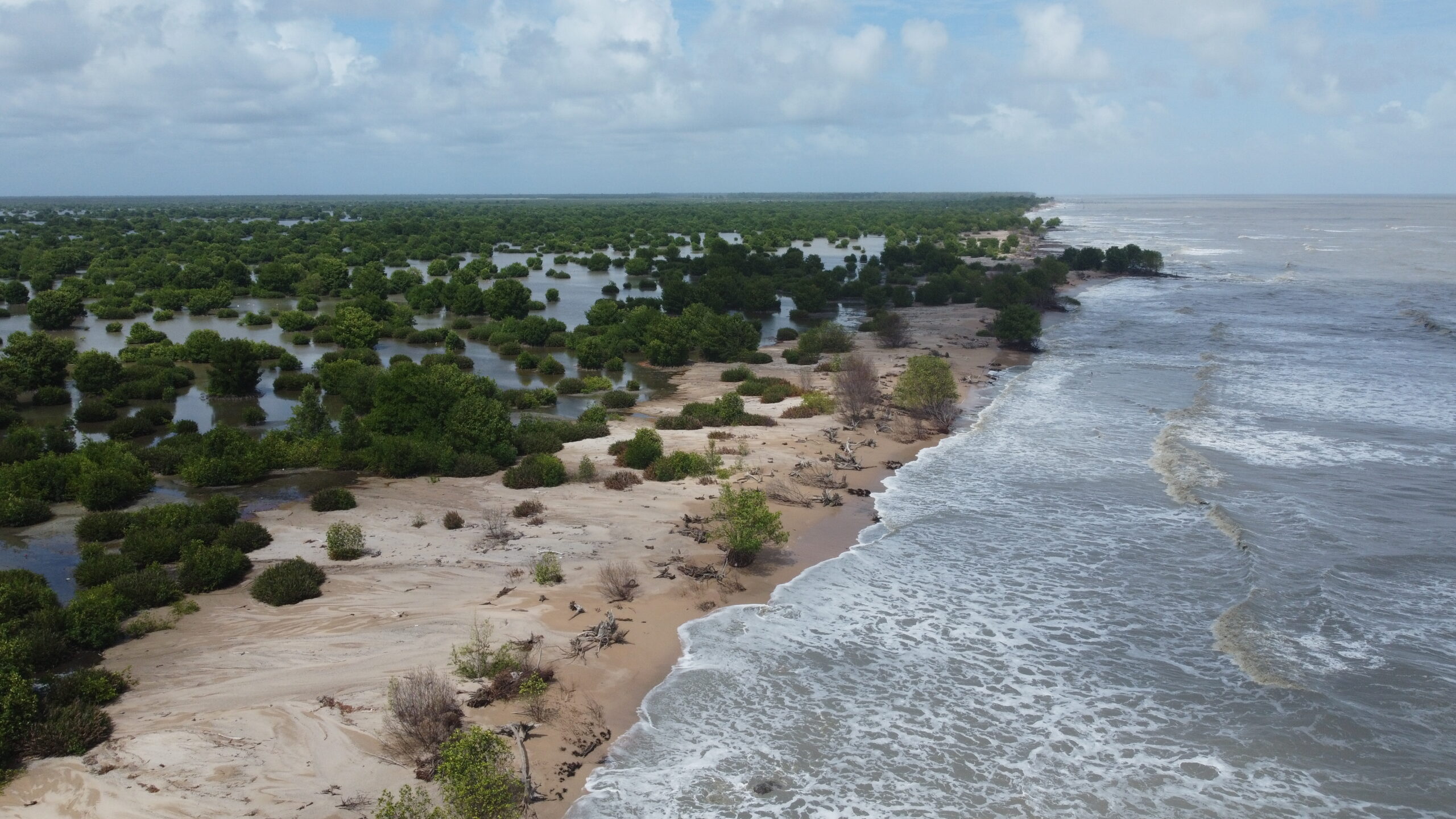
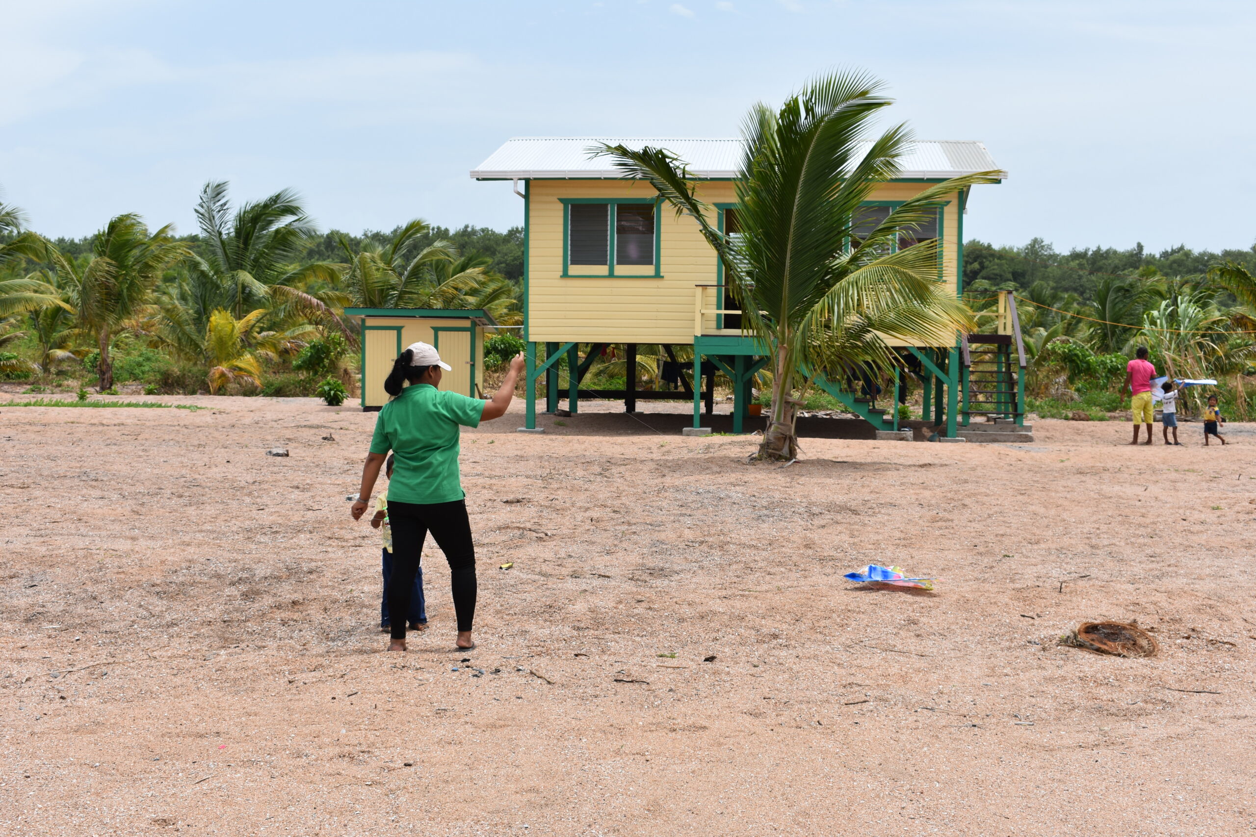
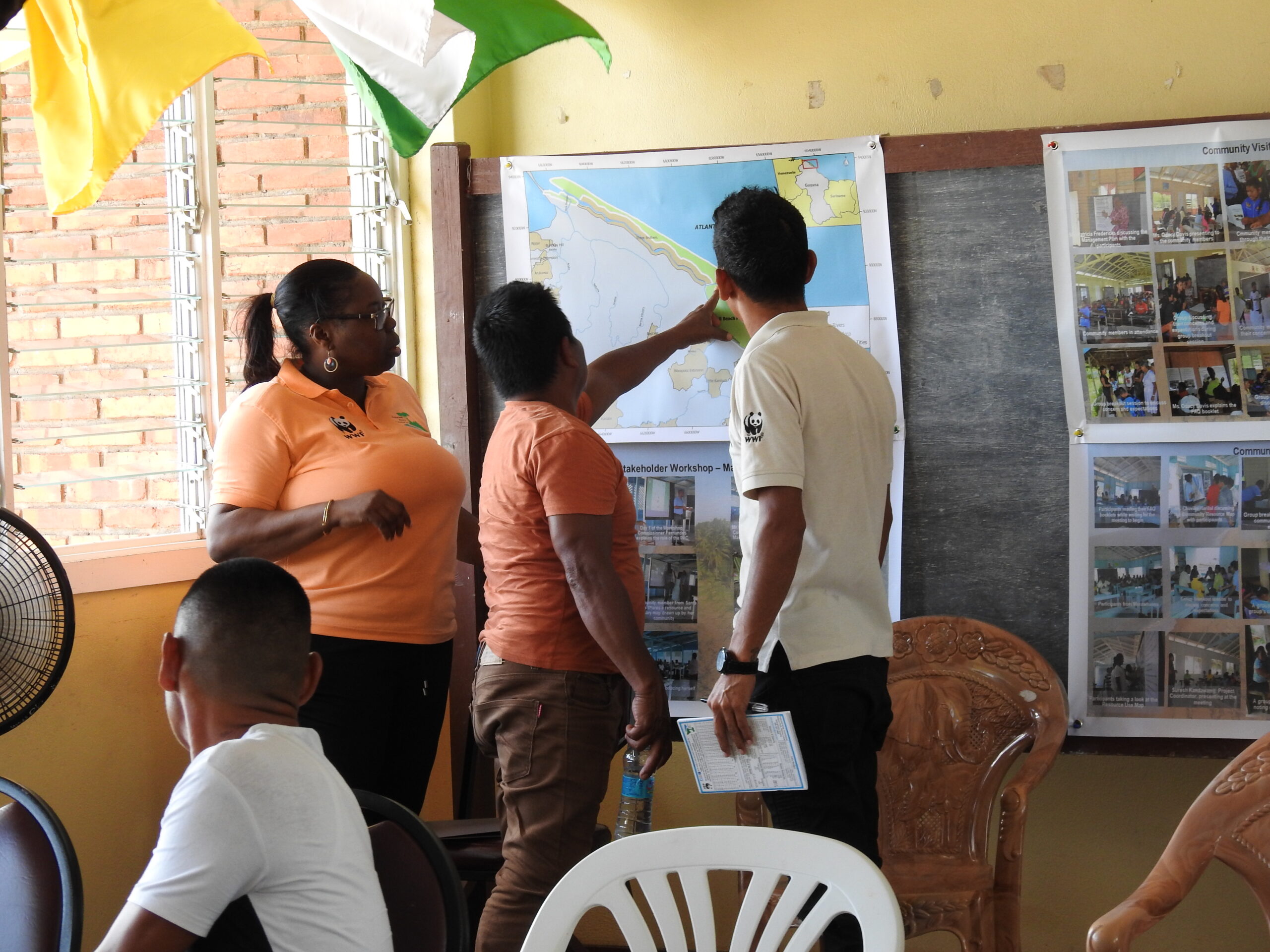
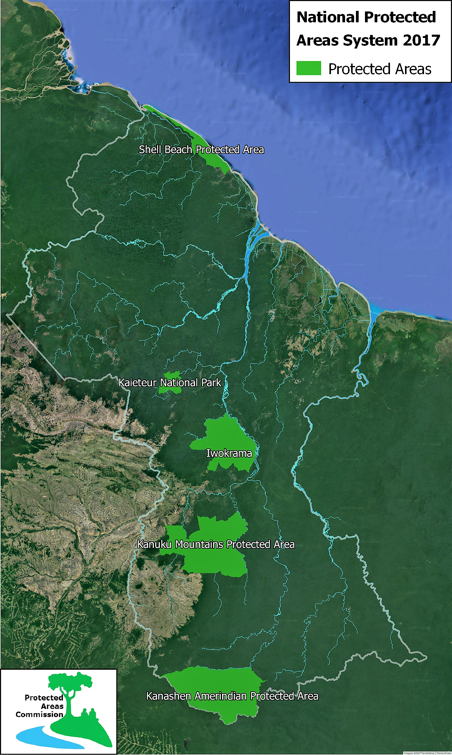
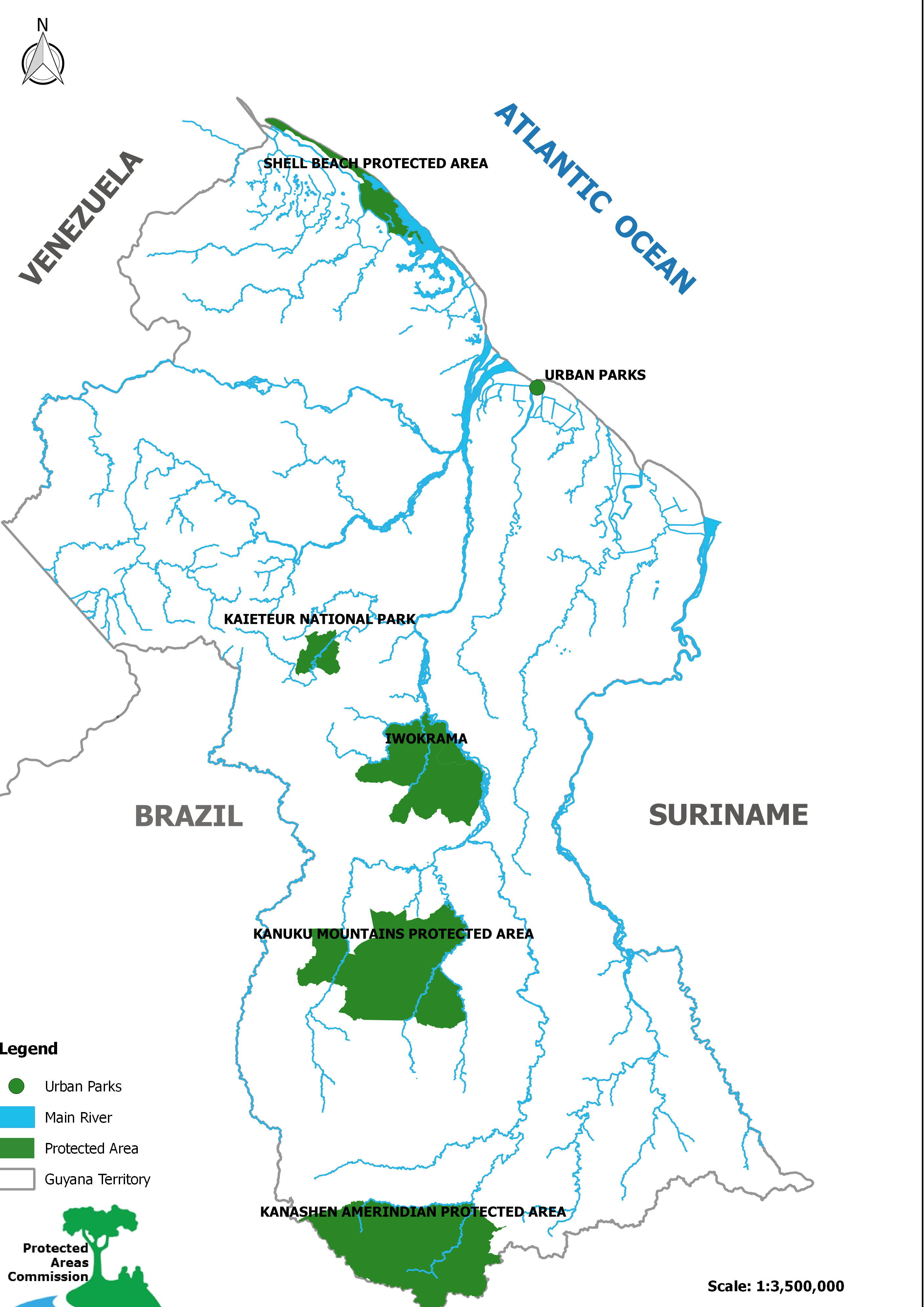
 SBPA is located in the northwest part of Guyana, in Region 1, stretching over 120 kilometers (kms) (75 miles) of beach and mudflats. The area gets its name from the presence of beach composed of fragmented mollusks, bivalved, and univalved shells. Mudflats are present in front of the shells, mangroves are found inland of the shells, and swamp forests inland of the mangroves. The SBPA is relatively flat with elevation ranging from less than 1 meter (m) to 25 m and covers an approximate area of 123,055 hectares (ha). SBPA and its surroundings are rich in biodiversity with relatively intact and productive ecosystems. Land cover includes the largest and most intact mangrove forests (both coastal and riverine) in Guyana, mixed swamp forests, open swamps, mixed agriculture, coconut palms, sandy beaches, and open water. There are also seasonally flooded Ite (Mauritius) palm savannahs.
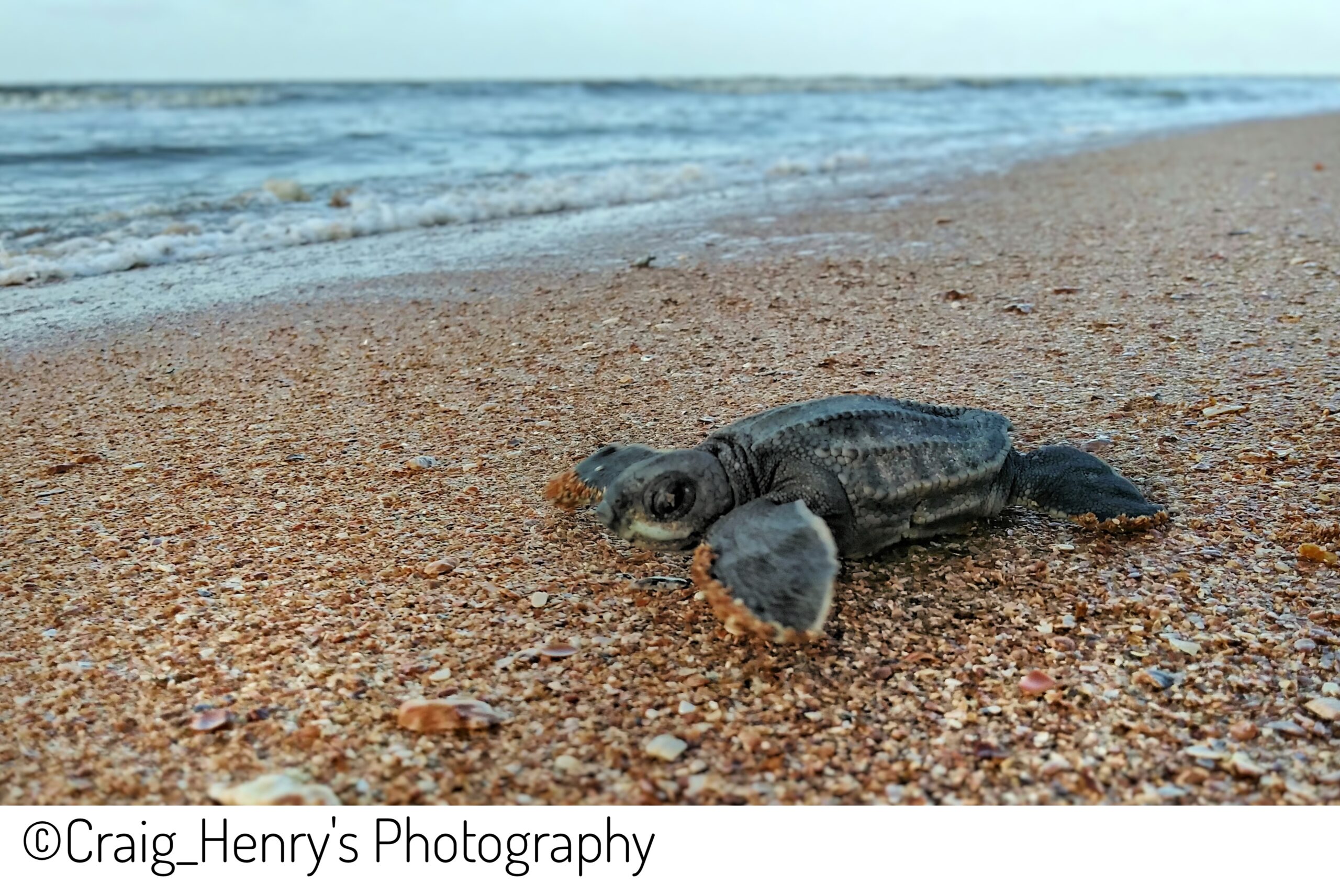
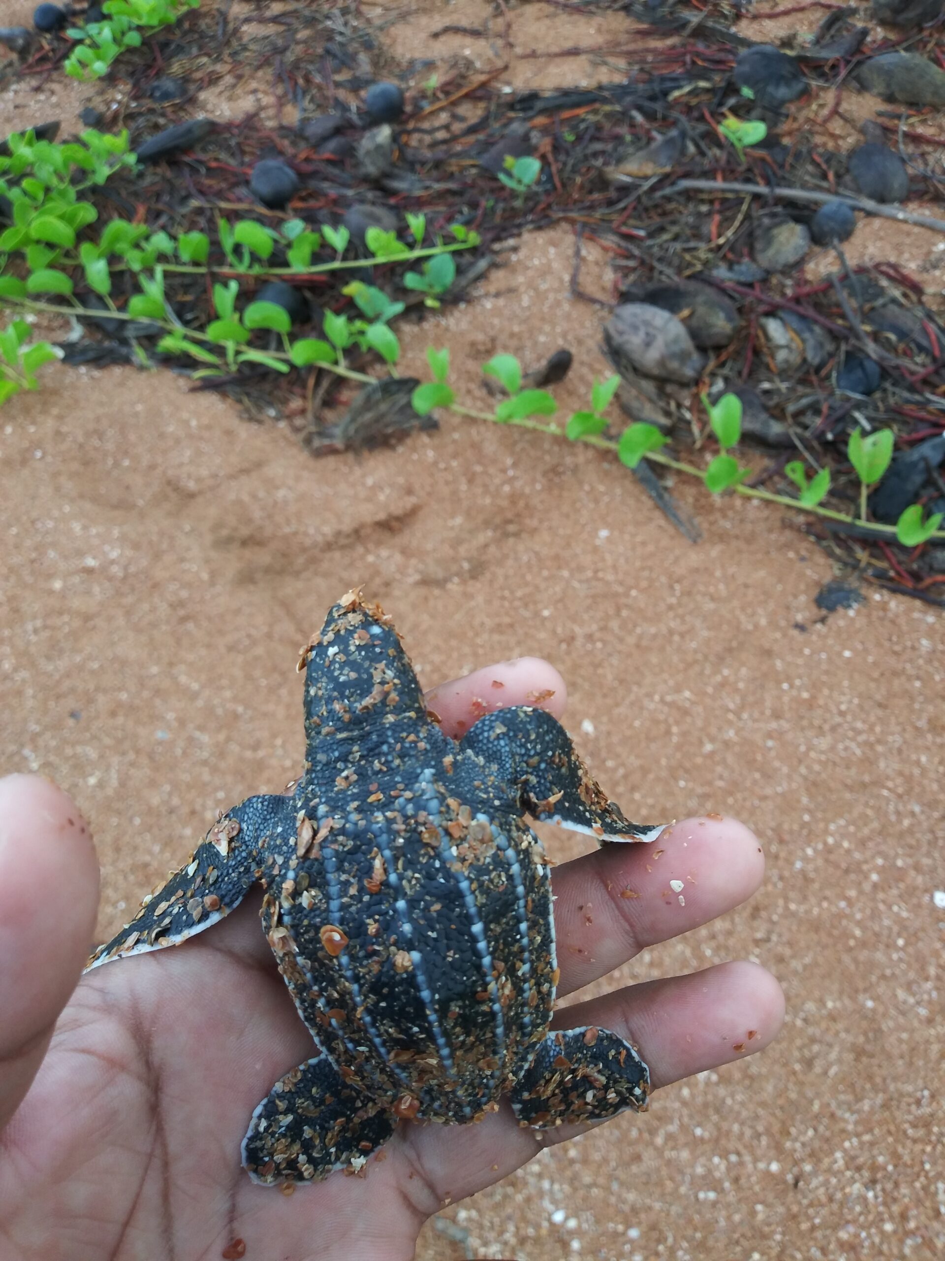
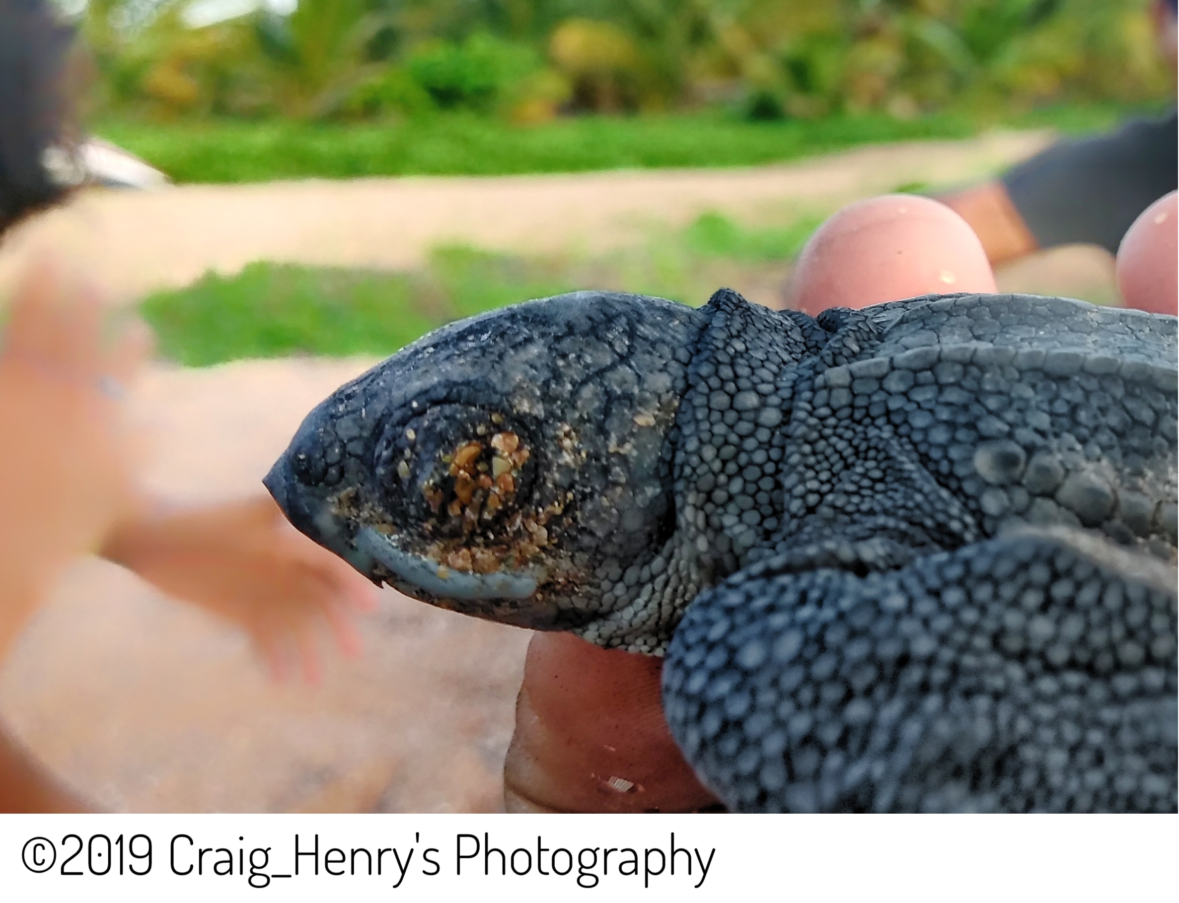
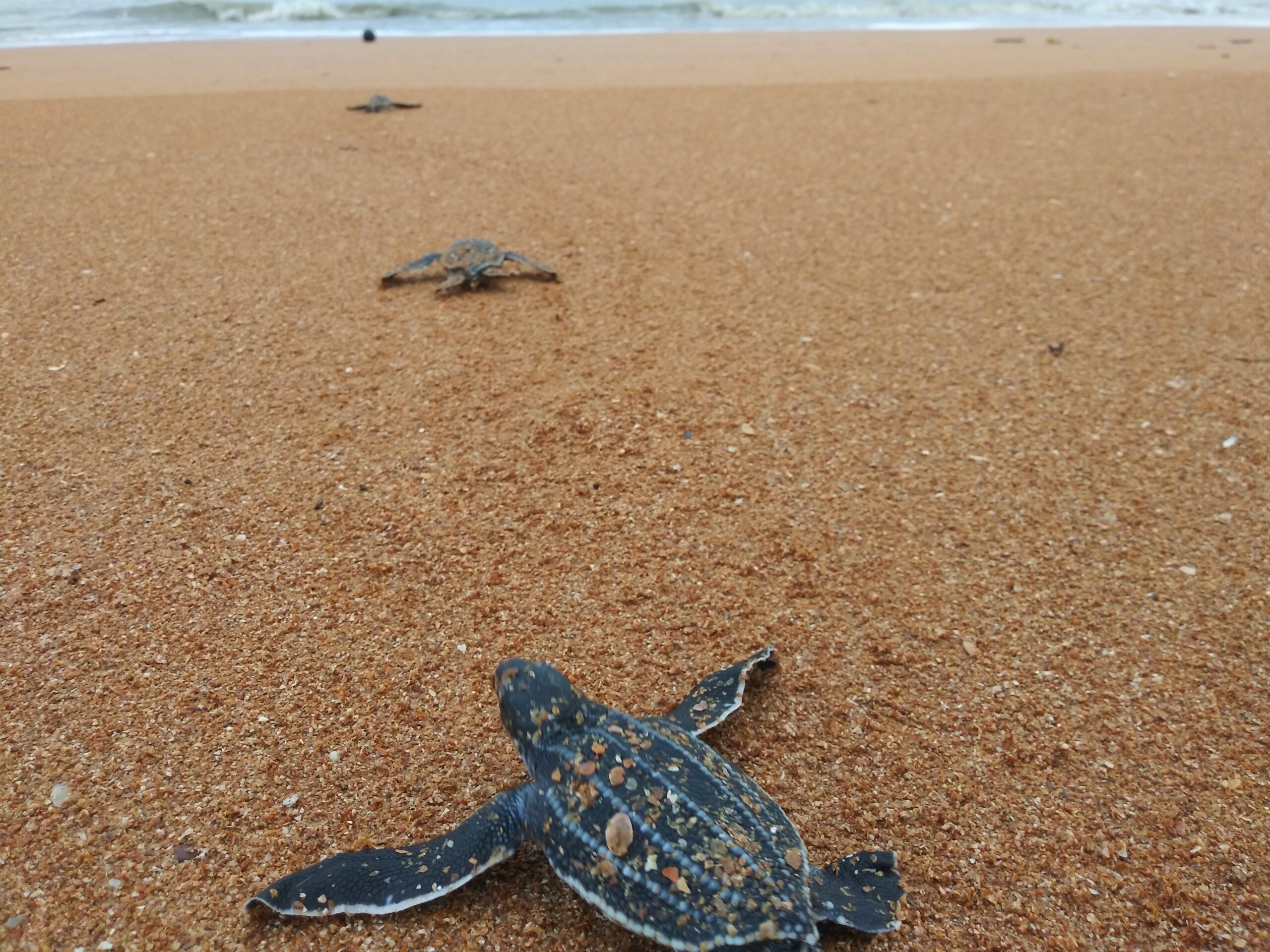
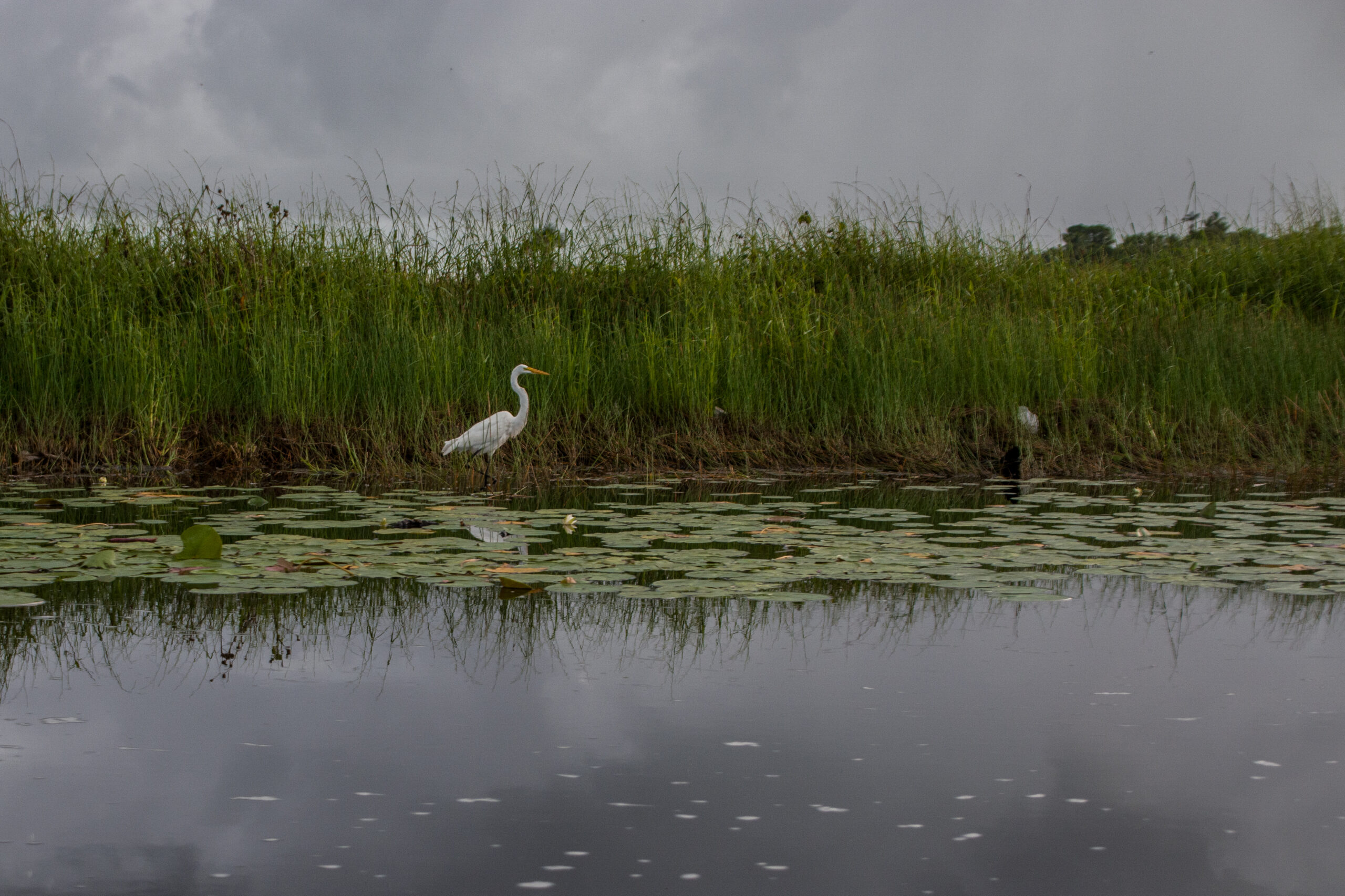
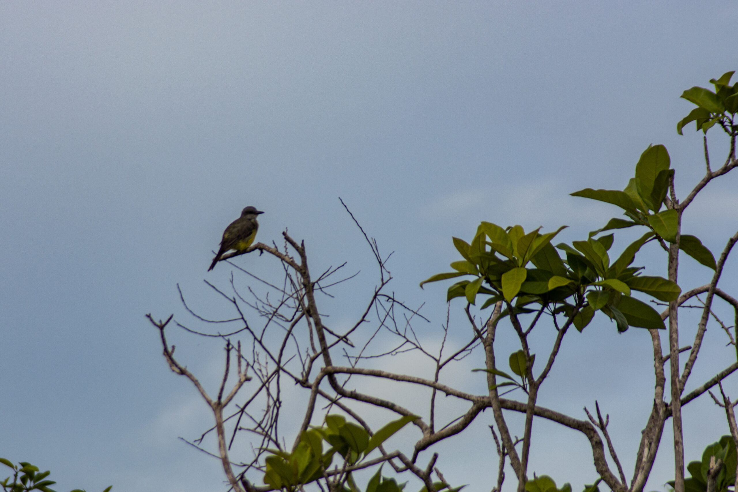
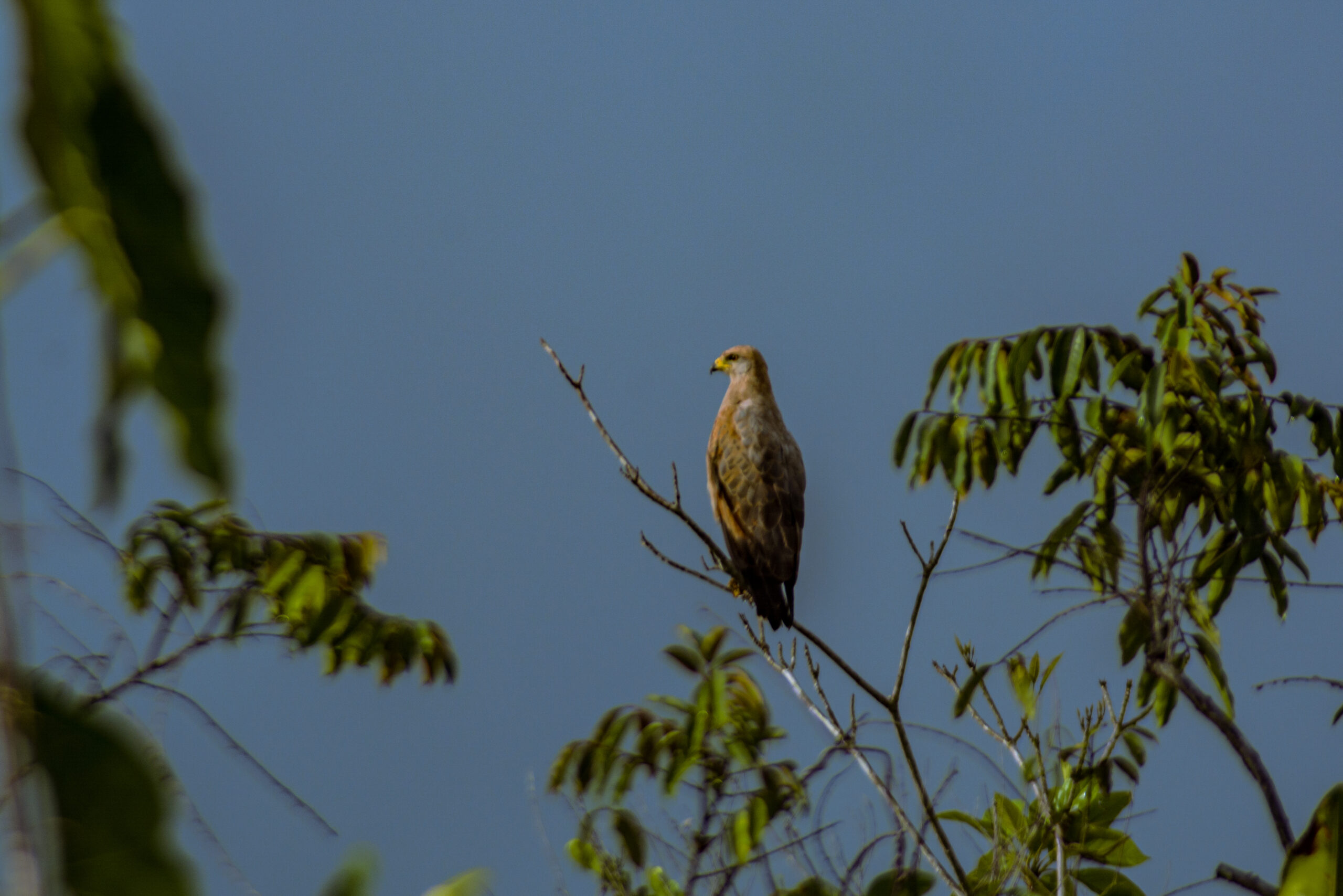
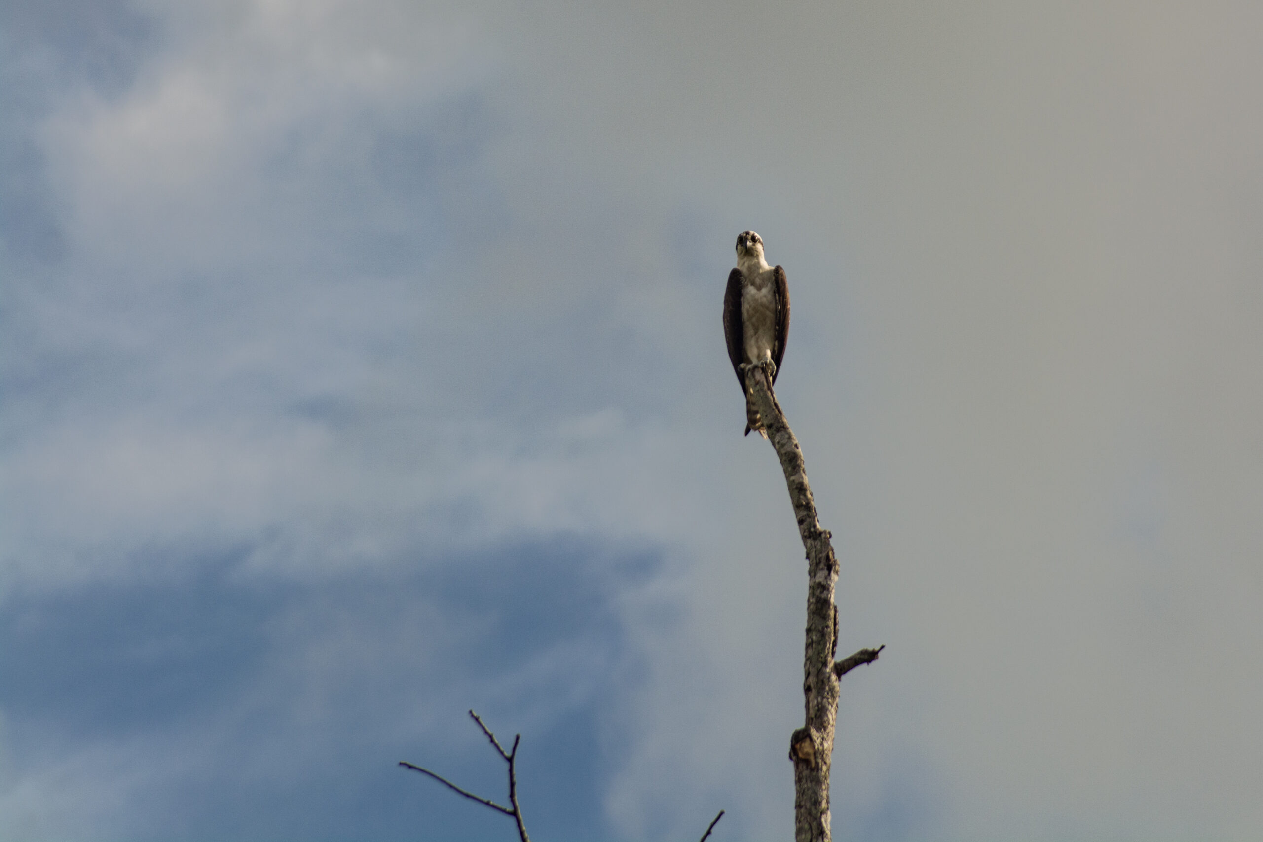
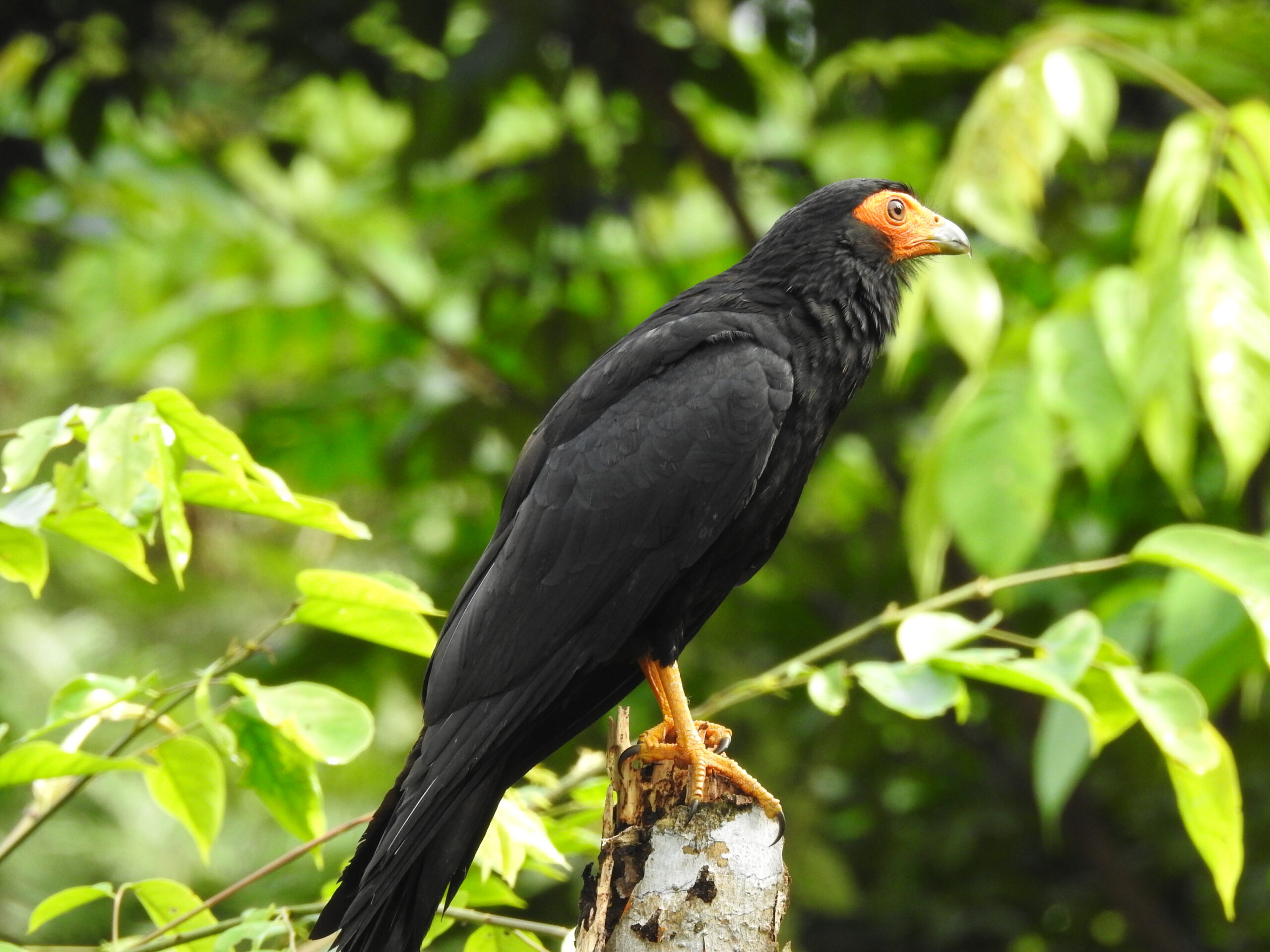
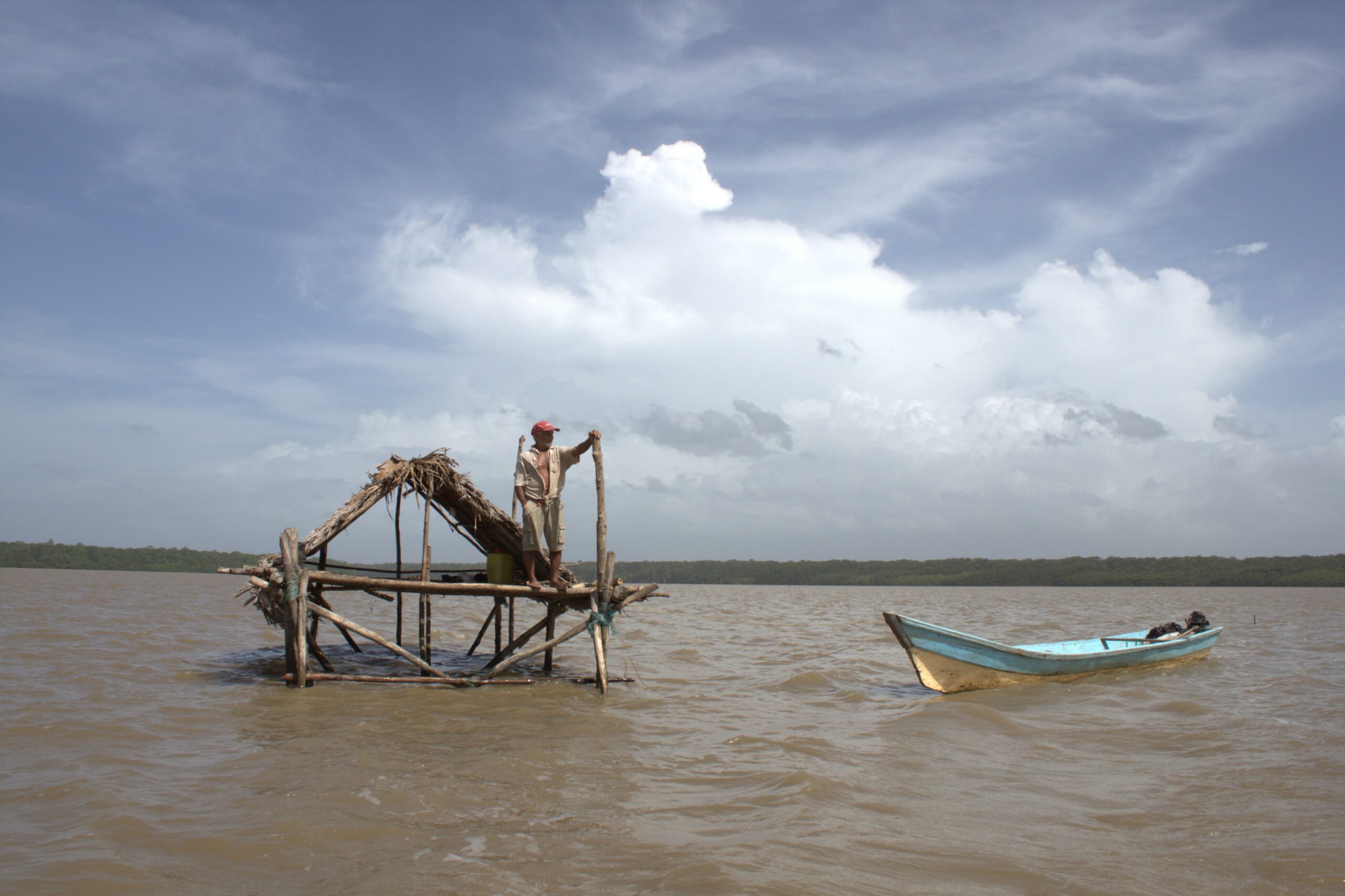
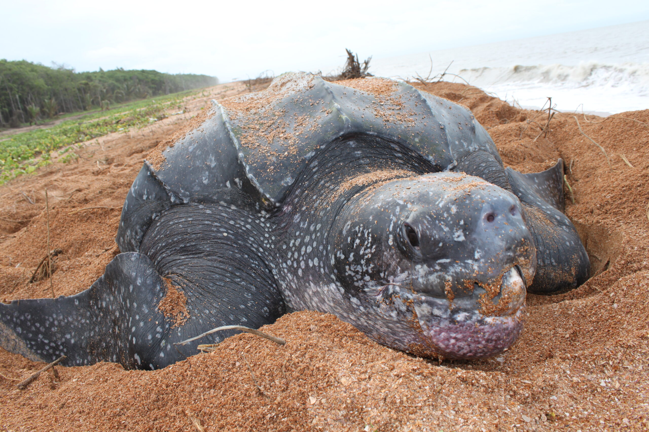
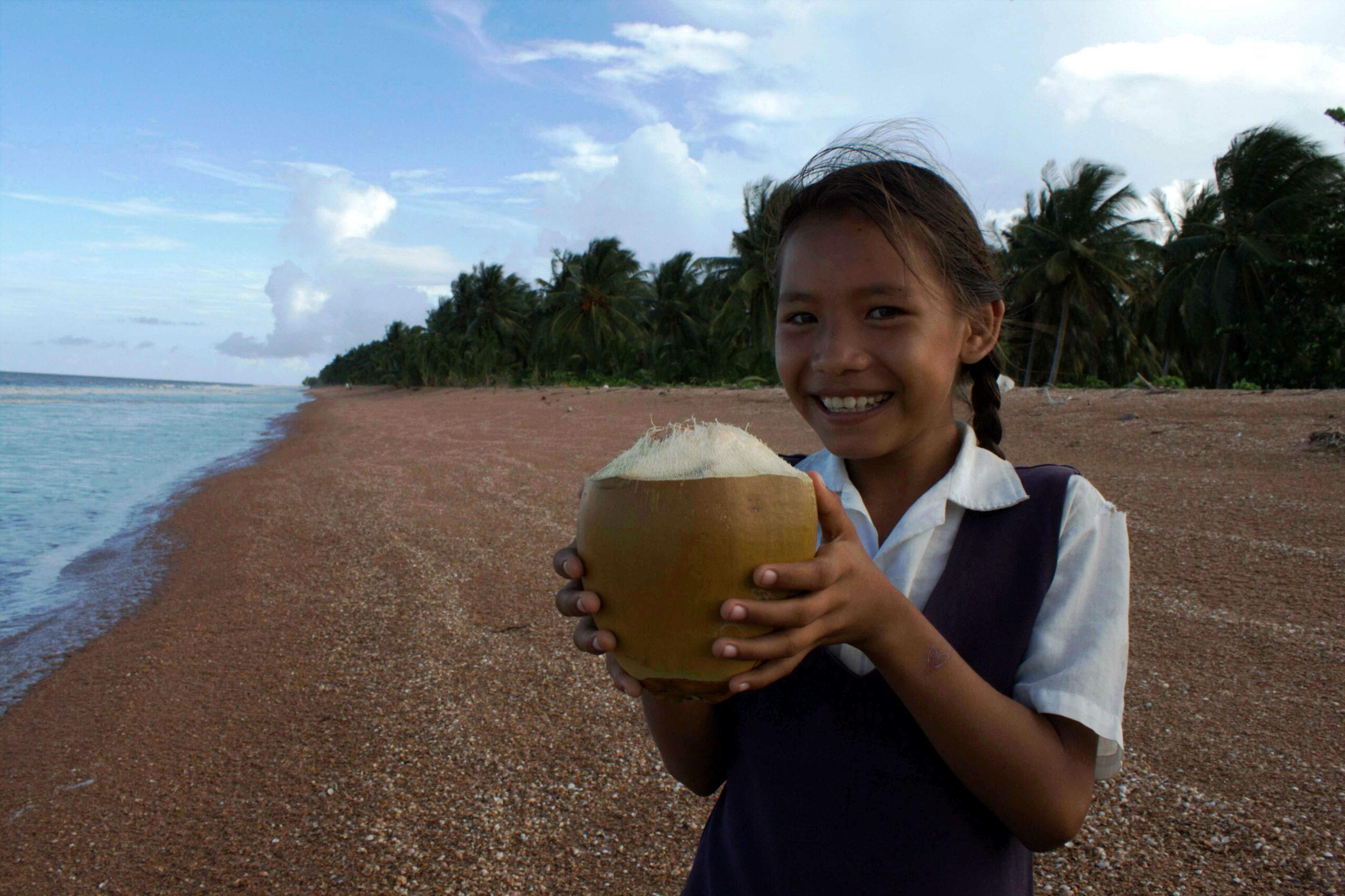
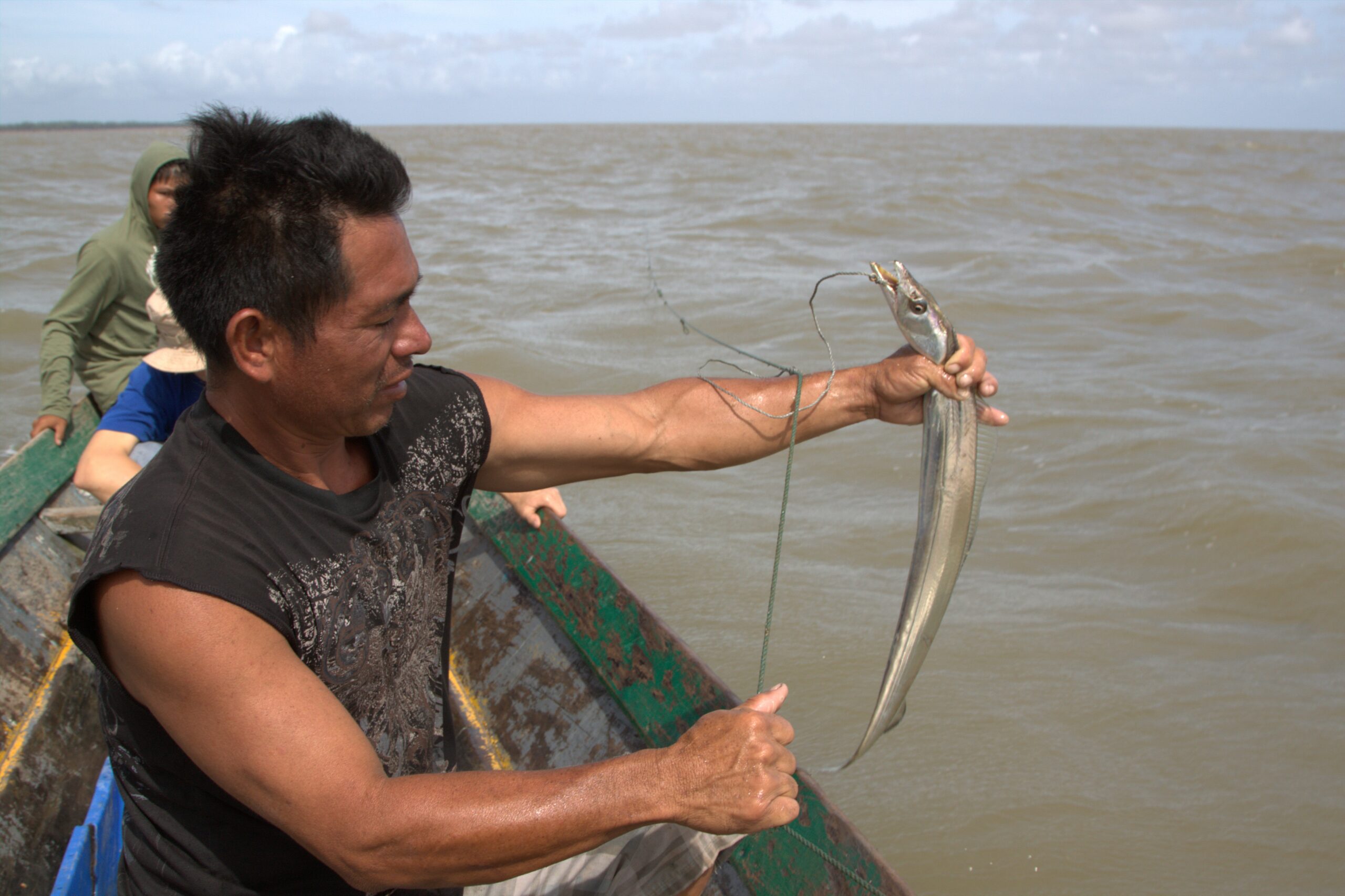
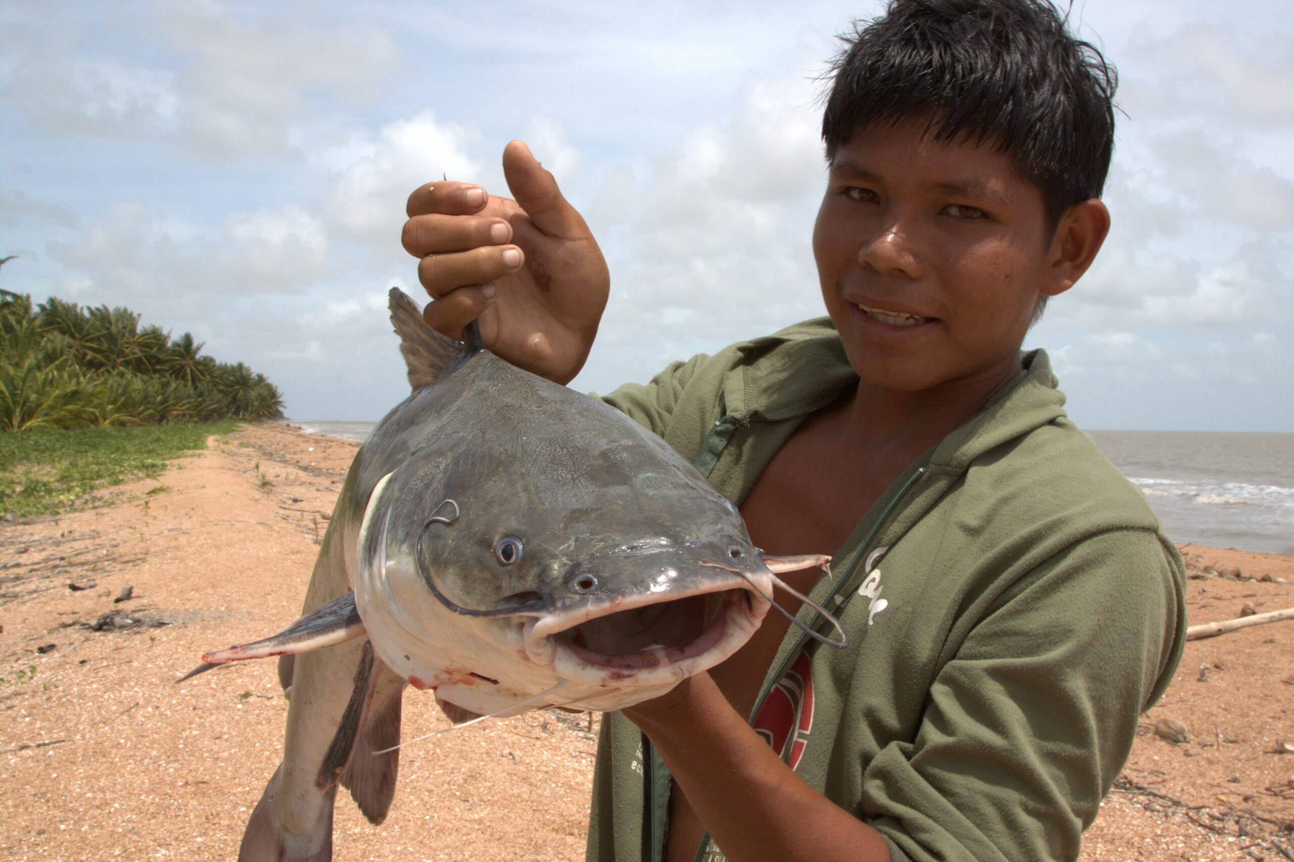
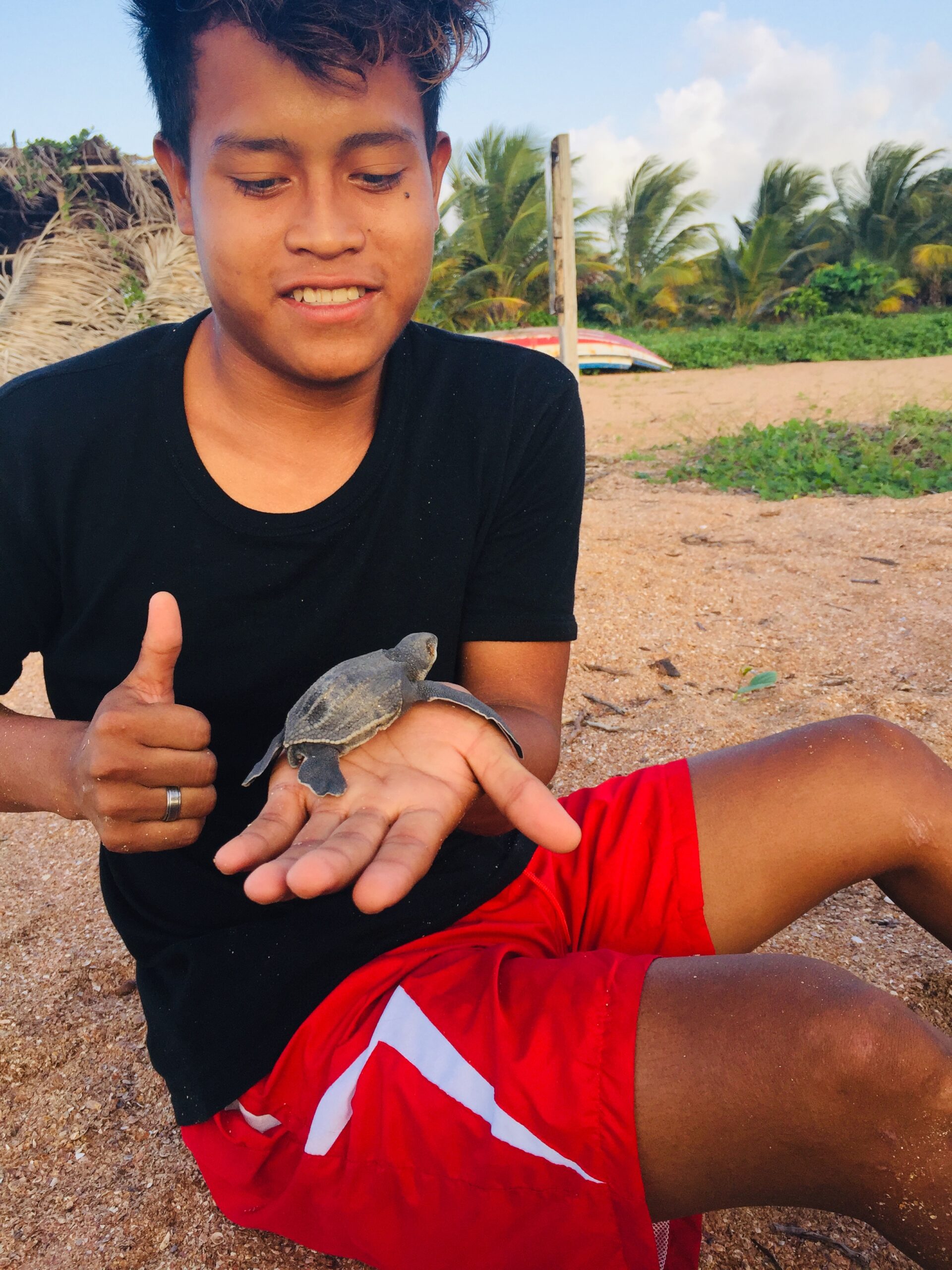
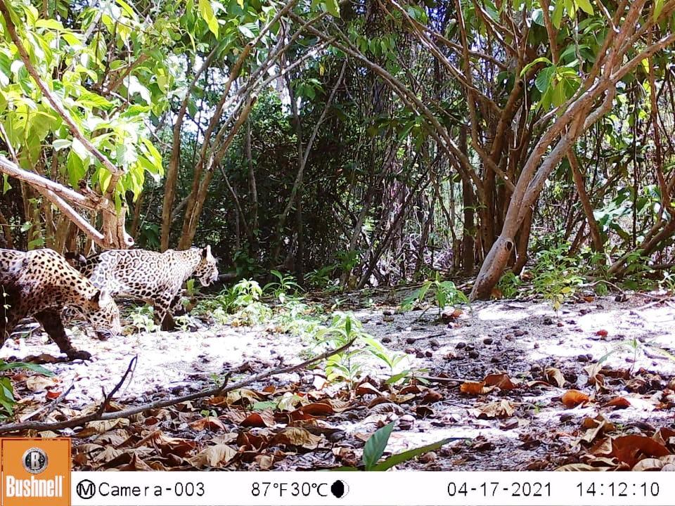
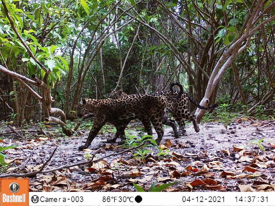
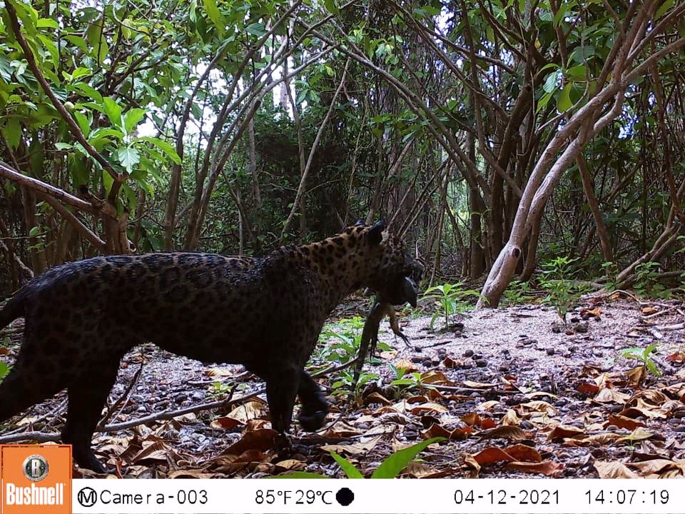
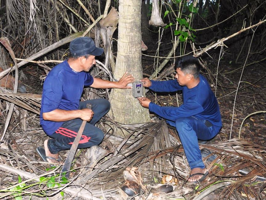
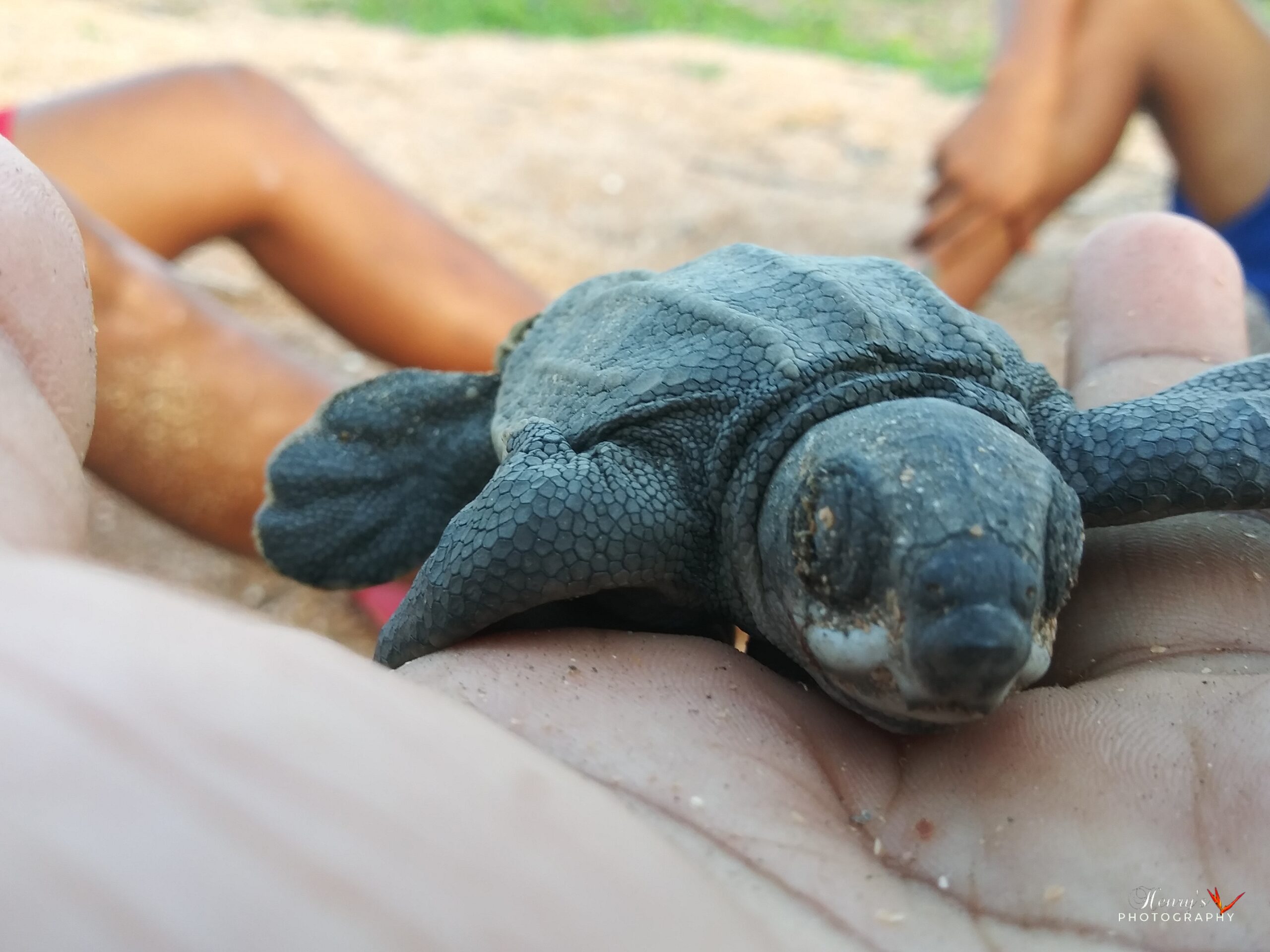
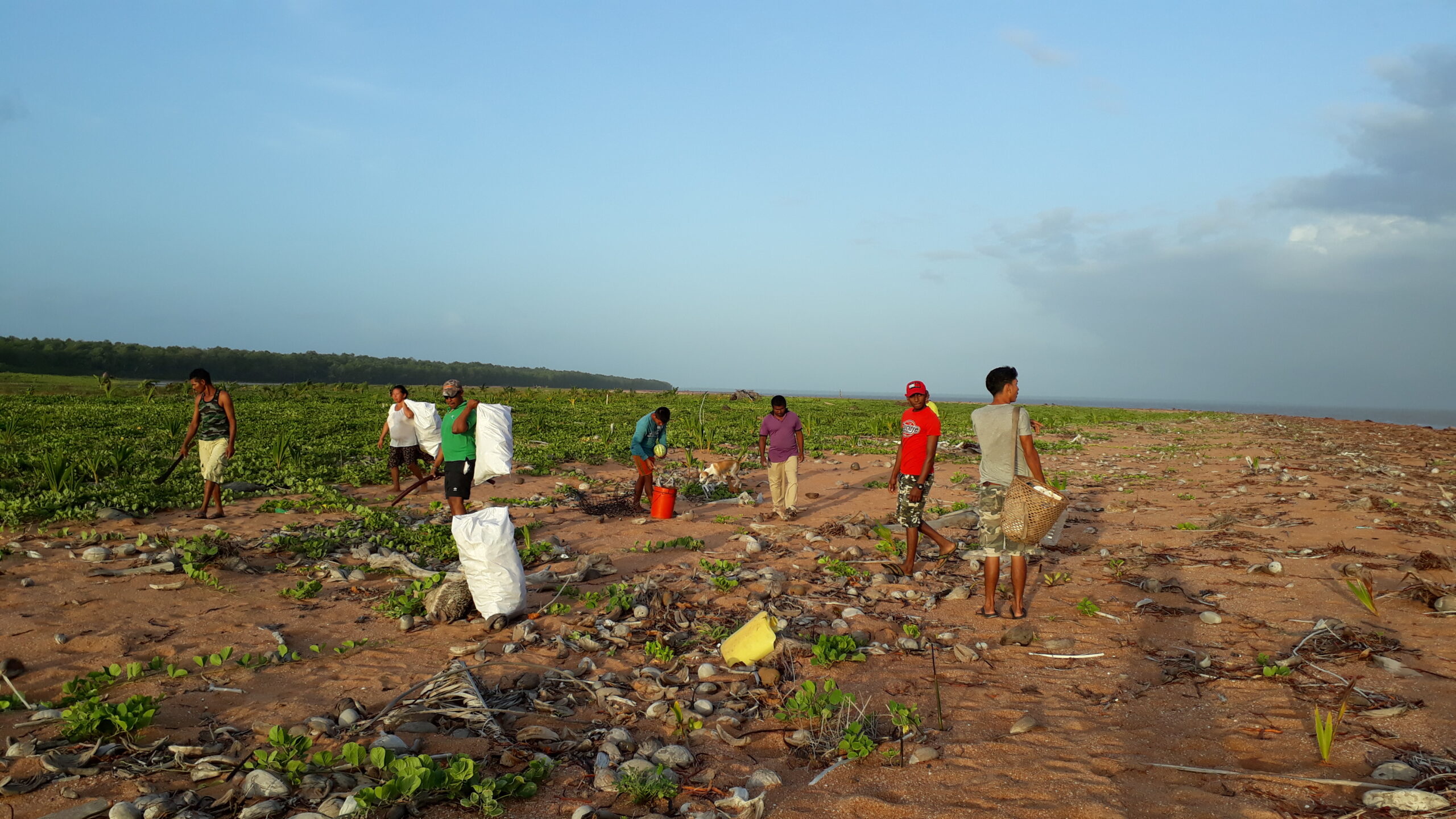
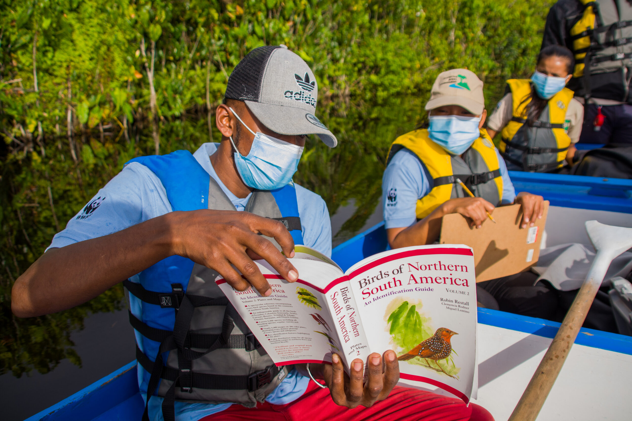
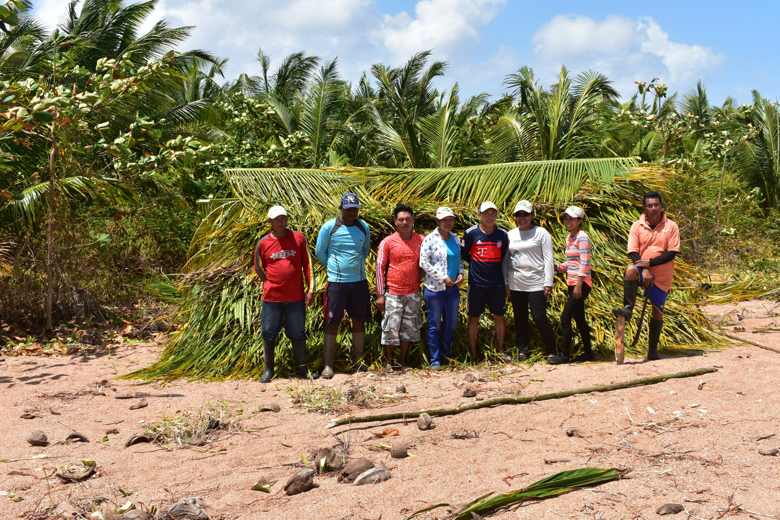
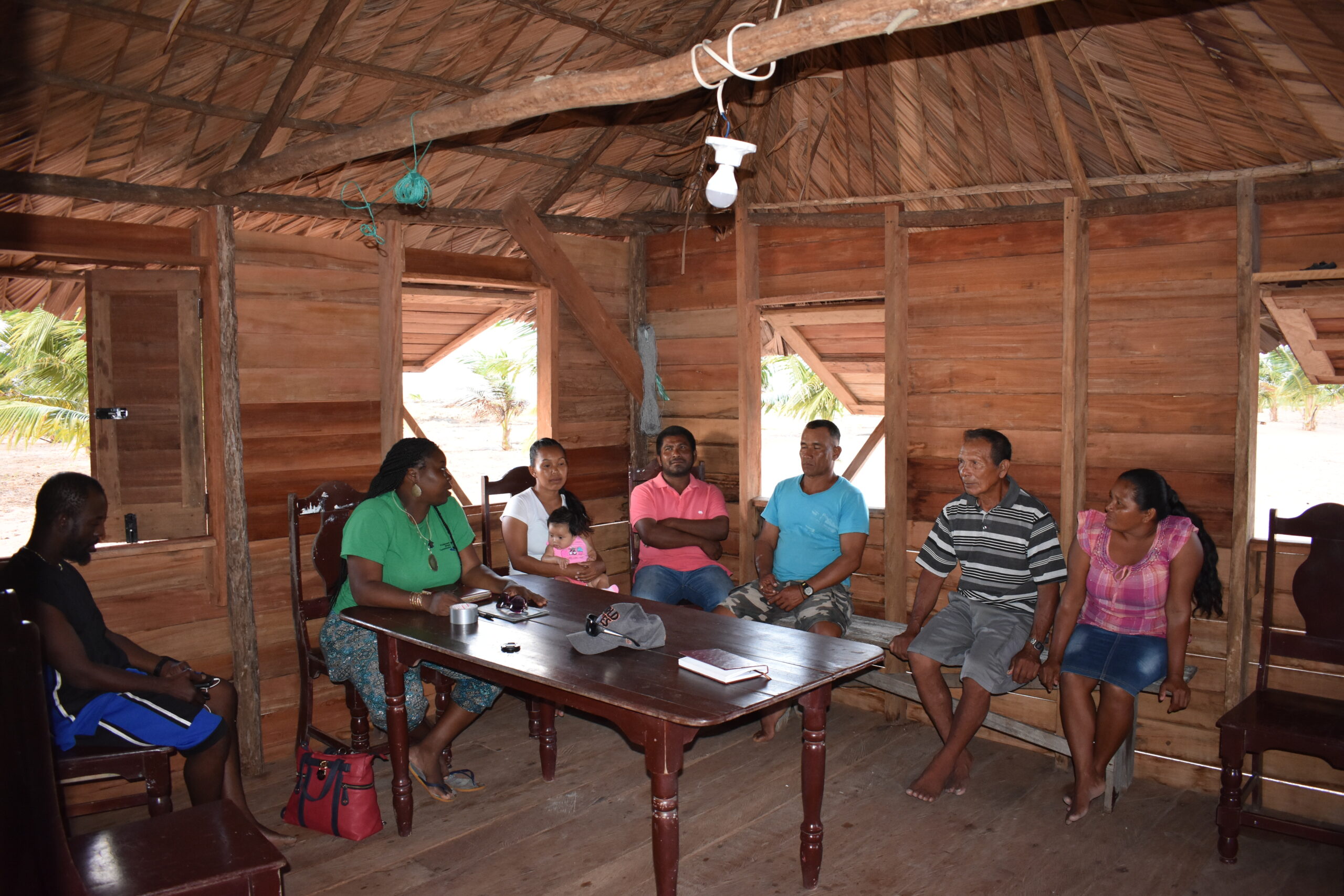
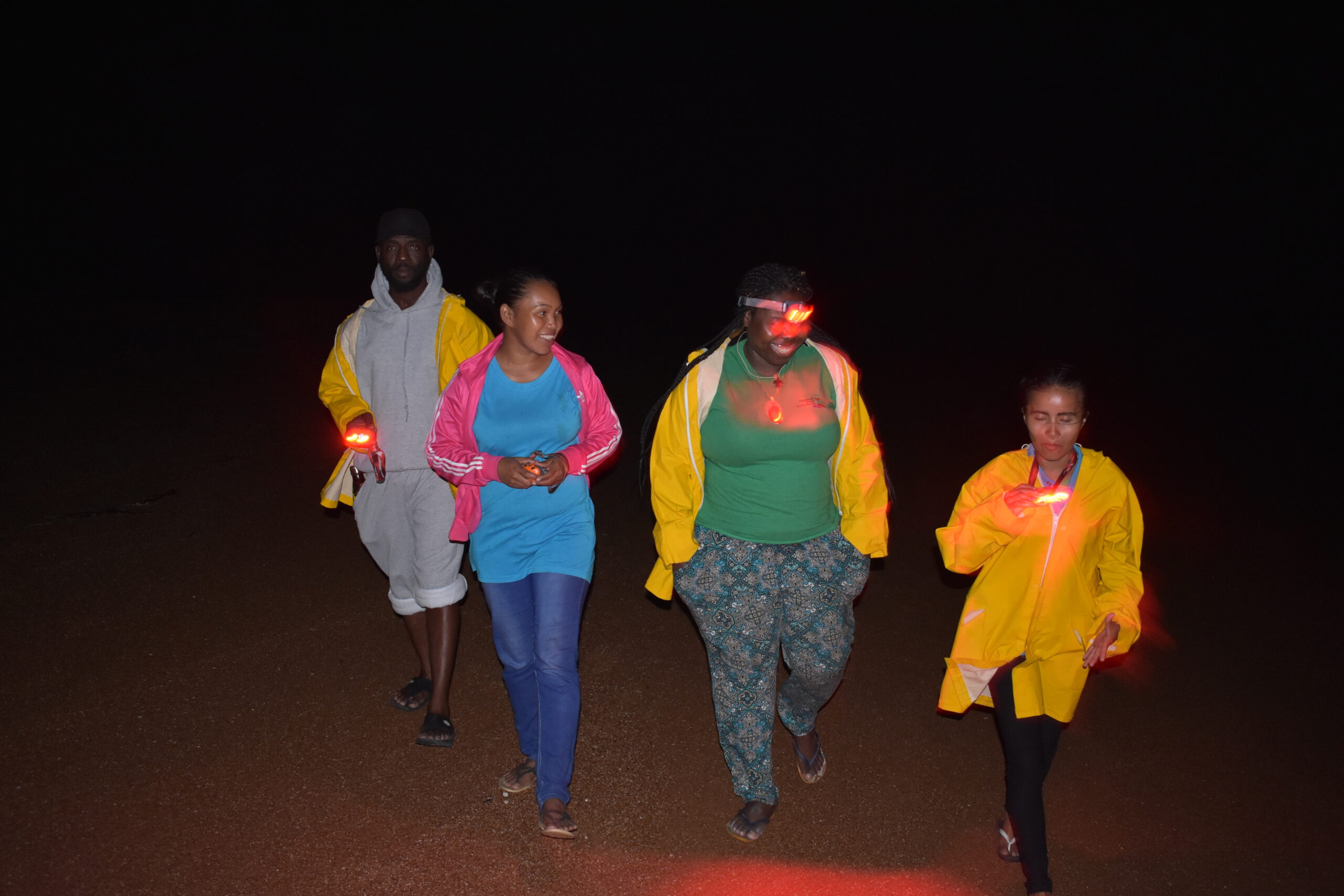
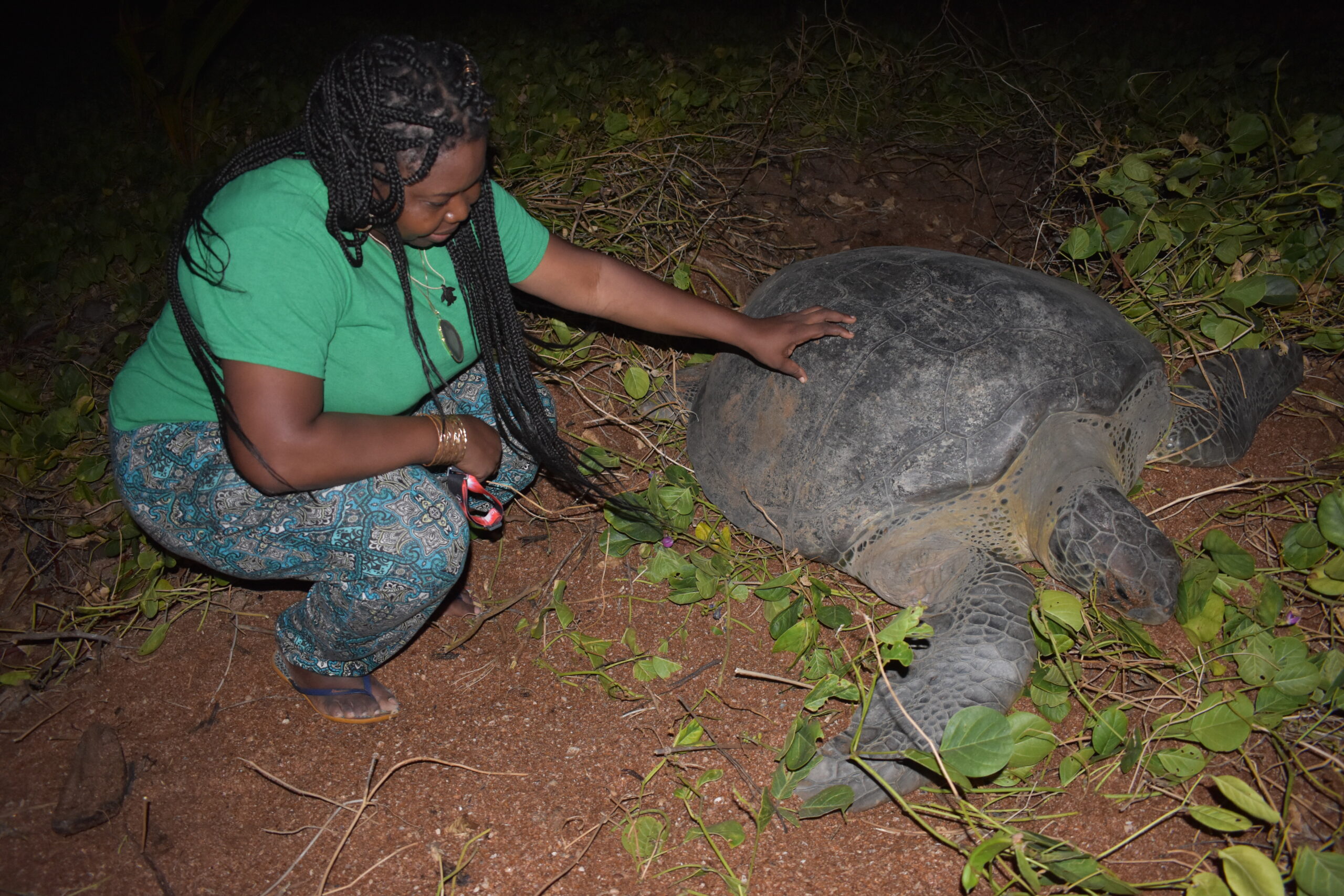
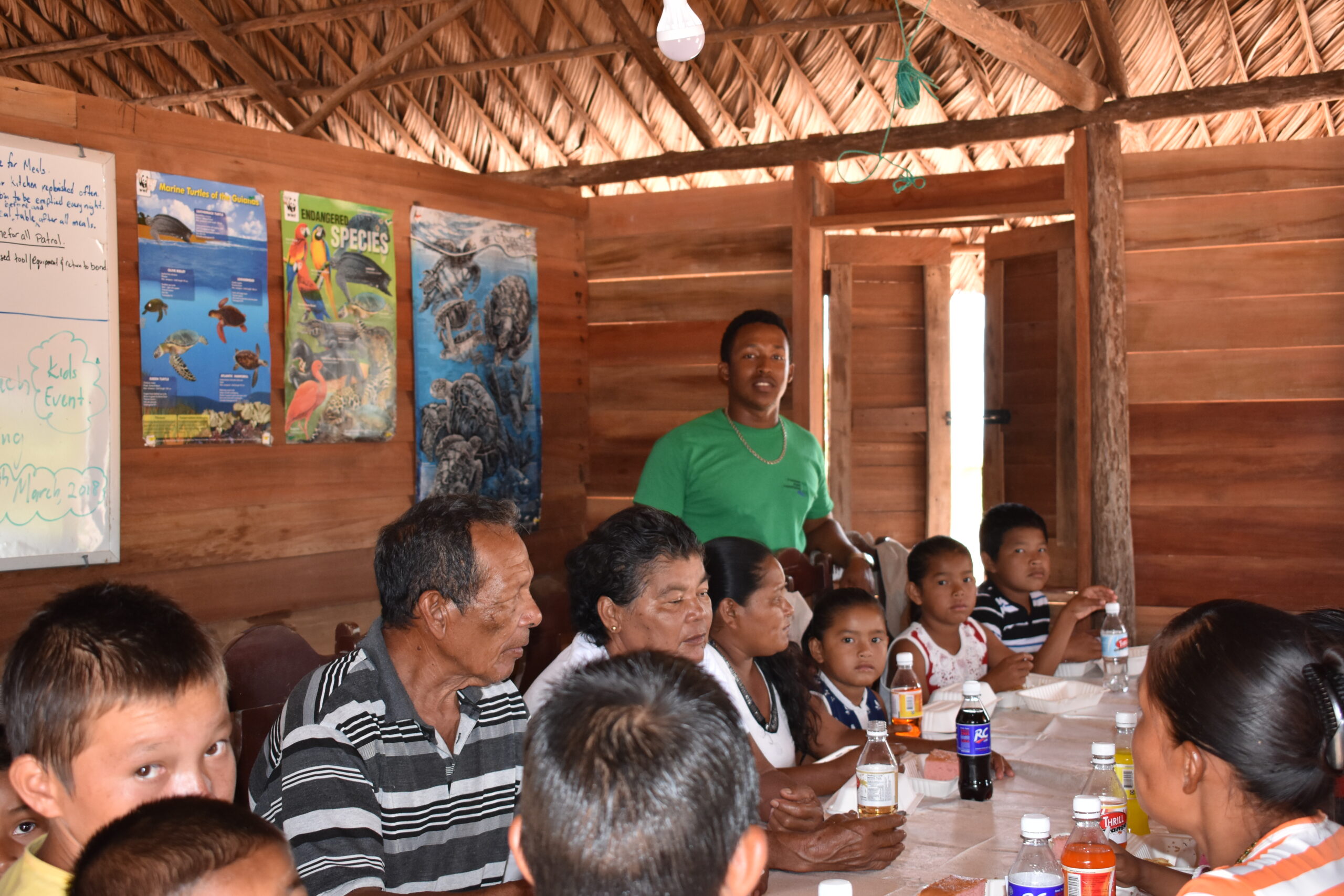
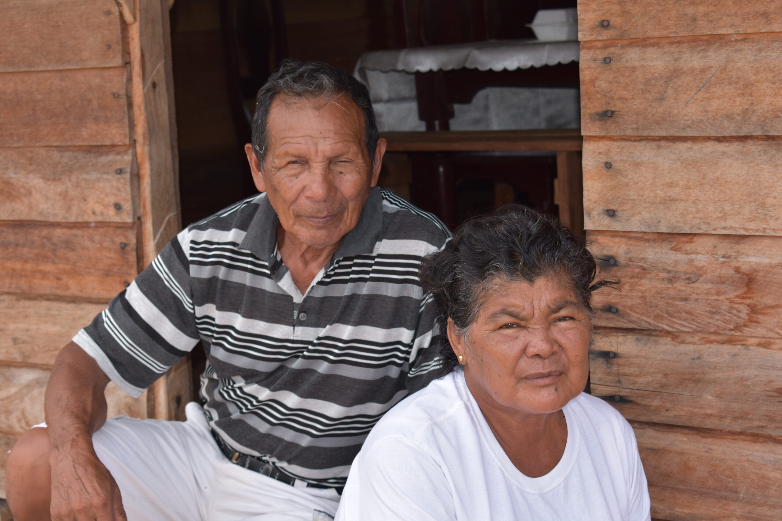
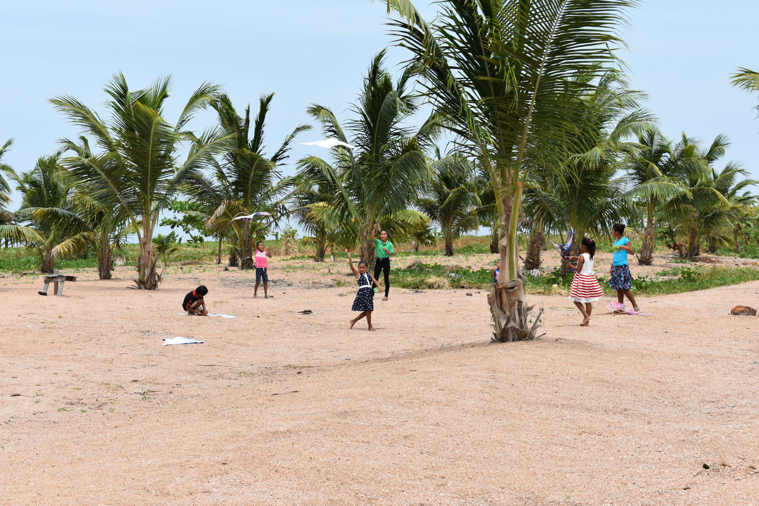
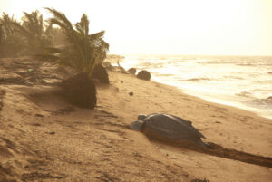
The nearshore waters are considered highly productive due to the nutrient influx from the estuary of the Essequibo in the southeast and the larger Orinoco Delta in the northwest. The vast mangrove forests also serve as nurseries for a variety of fish species. The area has been renowned for its marine turtle nesting sites. Four species of the world’s endangered marine turtles: the Leatherback (Dermochelys coriacea), Hawksbill (Eretmochelys imbricata), Olive Ridley (Lepidochelys olivacea), and Green turtle (Chelonia mydas) typically nest annually between February and August. In addition to marine turtles, it is also home to endangered West Indian Manatees (Trichechus manatus), tapirs (Tapirus terrestris), deer (Mazama americana), jaguars (Panthera onca), and several species of primates. There is also a rich diversity of birds with over 200 recorded species of coastal and migratory birds. Local and indigenous nearby communities have utilized natural resources found in the area for their livelihoods. They engaged in fishing, crabbing, hunting, palm and timber harvesting, and using various materials to make craft and other articles. These natural resources continue to provide an important means for meeting their livelihood needs. Subsistence agriculture is also a major activity with some agro-processing taking place on a small scale.